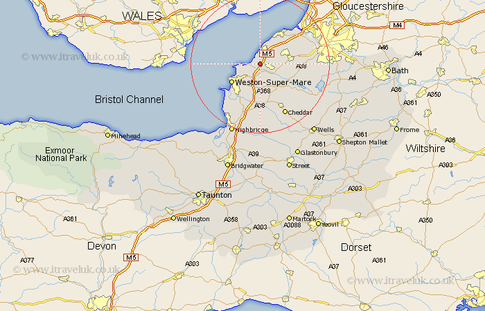
Somerset Map Showing Location of Kingston Seymour
Population: 338
Easting: 339716 Northing: 167185
Latitude: 51.4 Longitude: -2.87
 = Kingston Seymour
Easting: 339716 Northing: 167185
Latitude: 51.4 Longitude: -2.87
= Kingston Seymour
This Kingston Seymour map below is supplied by Google. Use the tools in the top left corner to zoom into street level or zoom out for a road map, you may also need to zoom in to see Kingston Seymour on the map. Click and drag the map to move around. If the map fails to load try and refresh your browser or zoom in or out (+ or -).
Update - it seems Google no longer allow people to use their maps for free! This Kingston Seymour map sometimes loads and sometimes gives a error. I am working on a solution.
Closest 30 Towns or Cities to Kingston Seymour (Population over 500)
Clevedon 3.88km Yatton 3.93km Wick Saint Lawrence 3.94km Wick St Lawrence 3.94km Wick St. Lawrence 3.94km Congresbury 5.93km Locking 7.51km Sandford 7.77km Nailsea 7.86km Wrington 7.87km Weston Down 8.74km Weston 8.74km Weston in Gordano 8.74km Churchill 8.74km Banwell 9.26km Weston-Super-Mare 9.82km Portishead 10.15km Hutton 10.35km Wraxall 10.79km Bourton 11.71km Flax Bourton 11.71km Shipham 12.04km Bleadon 12.54km Portbury 12.77km Blagdon 12.78km Axbridge 13.77km Lympsham 14.21km Weare 15km Winford 15.15km Long Ashton 15.48km