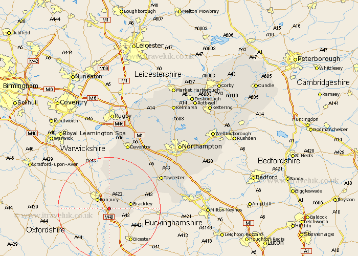
Northamptonshire Map Showing Location of Kings Sutton
Population: 2019
Area Size (ha): 58
District: South Northamptonshire
Easting: 450319 Northing: 235664
Latitude: 52.02 Longitude: -1.27
 = Kings Sutton
Area Size (ha): 58
District: South Northamptonshire
Easting: 450319 Northing: 235664
Latitude: 52.02 Longitude: -1.27
= Kings Sutton
This Kings Sutton map below is supplied by Google. Use the tools in the top left corner to zoom into street level or zoom out for a road map, you may also need to zoom in to see Kings Sutton on the map. Click and drag the map to move around. If the map fails to load try and refresh your browser or zoom in or out (+ or -).
Update - it seems Google no longer allow people to use their maps for free! This Kings Sutton map sometimes loads and sometimes gives a error. I am working on a solution.
Closest 30 Towns or Cities to Kings Sutton (Population over 500)
Aynho 3.88km Croughton 5.88km Chalcombe 7.49km Chacombe 7.49km Greatworth 7.96km Brackley 8.19km Chipping Warden 11.12km Helmdon 11.75km Syresham 13.72km Upper Boddington 16.72km Boddington 16.72km Byfield 16.83km Silverstone 18.63km Whittlebury 20.74km Badby 22.96km Towcester 23.3km Pattishall 23.87km Paulerspury 23.97km Weedon Beck 26.1km Weedon 26.1km Gayton 26.43km Bugbrooke 26.59km Potterspury 26.8km Daventry 26.82km Blisworth 28.23km Flore 28.27km Denshanger 28.74km Deanshanger 28.74km Braunston 29.99km Roade 30.1km