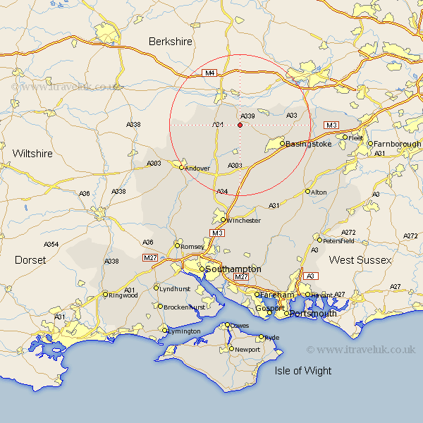
Hampshire Map Showing Location of Kingsclere
Population: 3185
Area Size (ha): 83
District: Basingstoke and Deane
Easting: 452262 Northing: 157833
Latitude: 51.32 Longitude: -1.25
 = Kingsclere
Area Size (ha): 83
District: Basingstoke and Deane
Easting: 452262 Northing: 157833
Latitude: 51.32 Longitude: -1.25
= Kingsclere
This Kingsclere map below is supplied by Google. Use the tools in the top left corner to zoom into street level or zoom out for a road map, you may also need to zoom in to see Kingsclere on the map. Click and drag the map to move around. If the map fails to load try and refresh your browser or zoom in or out (+ or -).
Update - it seems Google no longer allow people to use their maps for free! This Kingsclere map sometimes loads and sometimes gives a error. I am working on a solution.
Closest 30 Towns or Cities to Kingsclere (Population over 500)
Kingsclere 0km Ecchinswell 2.18km Burghclere 4.63km Highclere 6.08km Baughurst 6.08km Oakley 8.75km Tadley 8.91km Overton 9.27km East Woodhay 12.16km Whitchurch 12.54km Bramley 12.74km Basingstoke 12.85km Silchester 13.26km North Waltham 13.78km Dummer 14.73km Hurstbourne Tarrant 14.98km Basing 16.06km Sherfield 16.33km Sherfield upon Loddon 16.33km Longparish 18.14km Barton Stacey 18.55km Vernham Dean 18.63km Vernhams Dean 18.63km Wonston 19.11km Tangley 19.36km Rotherwick 20.05km Micheldever 20.43km Upton Grey 20.64km Andover 20.79km Hook 21.59km