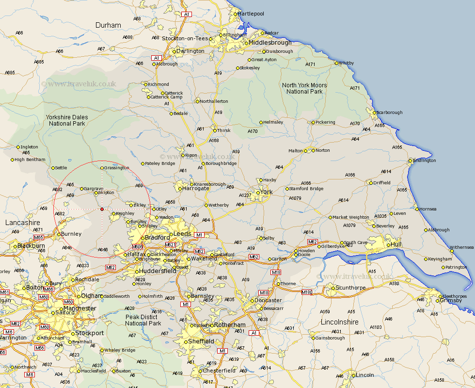
Yorkshire Map Showing Location of Kildwick
Population: 191
District: Craven
Easting: 401095 Northing: 444892
Latitude: 53.9 Longitude: -1.98
 = Kildwick
District: Craven
Easting: 401095 Northing: 444892
Latitude: 53.9 Longitude: -1.98
= Kildwick
This Kildwick map below is supplied by Google. Use the tools in the top left corner to zoom into street level or zoom out for a road map, you may also need to zoom in to see Kildwick on the map. Click and drag the map to move around. If the map fails to load try and refresh your browser or zoom in or out (+ or -).
Update - it seems Google no longer allow people to use their maps for free! This Kildwick map sometimes loads and sometimes gives a error. I am working on a solution.
Closest 30 Towns or Cities to Kildwick (Population over 500)
Glusburn 1.09km Sutton-in-Craven 1.86km Steeton 2.86km Cononley 2.87km Silsden 3.28km Keighley 4.75km Carlton 5.73km Carleton 5.73km Embsay 7.42km Addingham 7.52km Skipton 7.73km Earby 8.93km Haworth 9.52km Cullingworth 10.75km Ilkley 11.07km Bingley 11.3km Oxenhope 11.33km Gargrave 12km Wilsden 12.01km Denholme 14.08km Baildon 15.25km Burley 15.4km Burley in Wharfedale 15.4km Queensbury 15.45km Shipley 16.03km Menston 16.49km Threshfield 16.82km Hebden Bridge 16.82km Heptonstall 16.82km Hellifield 17.86km