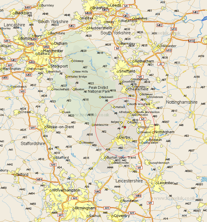
Derbyshire Map Showing Location of Kilburn
Population: 4776
Area Size (ha): 94
District: Amber Valley
Easting: 438025 Northing: 344926
Latitude: 53 Longitude: -1.43
 = Kilburn
Area Size (ha): 94
District: Amber Valley
Easting: 438025 Northing: 344926
Latitude: 53 Longitude: -1.43
= Kilburn
This Kilburn map below is supplied by Google. Use the tools in the top left corner to zoom into street level or zoom out for a road map, you may also need to zoom in to see Kilburn on the map. Click and drag the map to move around. If the map fails to load try and refresh your browser or zoom in or out (+ or -).
Update - it seems Google no longer allow people to use their maps for free! This Kilburn map sometimes loads and sometimes gives a error. I am working on a solution.
Closest 30 Towns or Cities to Kilburn (Population over 500)
Holbrook 2.23km Denby 2.9km Smalley 3.83km Heage 3.87km Ripley 4.32km Belper 4.32km Duffield 4.99km Little Eaton 5.67km Codnor 5.8km Ambergate Junction Station 6.49km Ambergate 6.49km Quarndon 7.13km Breadsall 7.5km Swanwick 7.74km Shipley Gate Station 7.81km West Hallam 7.88km Derby 8.66km Heanor 8.92km South Wingfield 9.26km Wingfield 9.26km Dale Abbey 9.28km Ilkeston 9.66km Crich 9.85km Kirk Langley 11.61km Alfreton 11.61km Borrowash 11.61km Pinxton 12.11km Risley 12.12km Wirksworth 12.85km South Normanton 12.97km