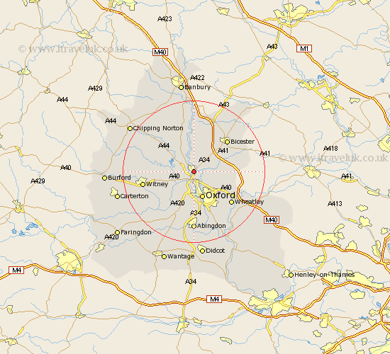
Oxfordshire Map Showing Location of Kidlington
Population: 14853
Area Size (ha): 506
District: Cherwell
Easting: 449395 Northing: 213411
Latitude: 51.82 Longitude: -1.28
 = Kidlington
Area Size (ha): 506
District: Cherwell
Easting: 449395 Northing: 213411
Latitude: 51.82 Longitude: -1.28
= Kidlington
This Kidlington map below is supplied by Google. Use the tools in the top left corner to zoom into street level or zoom out for a road map, you may also need to zoom in to see Kidlington on the map. Click and drag the map to move around. If the map fails to load try and refresh your browser or zoom in or out (+ or -).
Update - it seems Google no longer allow people to use their maps for free! This Kidlington map sometimes loads and sometimes gives a error. I am working on a solution.
Closest 30 Towns or Cities to Kidlington (Population over 500)
Kidlington 0km Yarnton 2.18km Islip 3.44km Bletchingdon 3.88km Woodstock 4.35km Bladon 4.58km Kirtlington 5.68km Cassington 5.9km Tackley 6.01km Hanborough 7.12km Church Handborough 7.12km Oxford 7.76km Beckley 7.82km Eynsham 8.84km Ensham 8.84km North Hinksey 9.27km Chesterton 10.1km Stonesfield 10.47km North Leigh 10.48km Steeple Aston 11.18km Cumnor 11.64km Littlemore 12.03km Ambrosden 12.04km Stanton Harcourt 12.27km Upper Heyford 13.02km Bicester 13.02km Wootton 13.03km Duns Tew 13.41km Launton 13.63km Ardley 13.75km