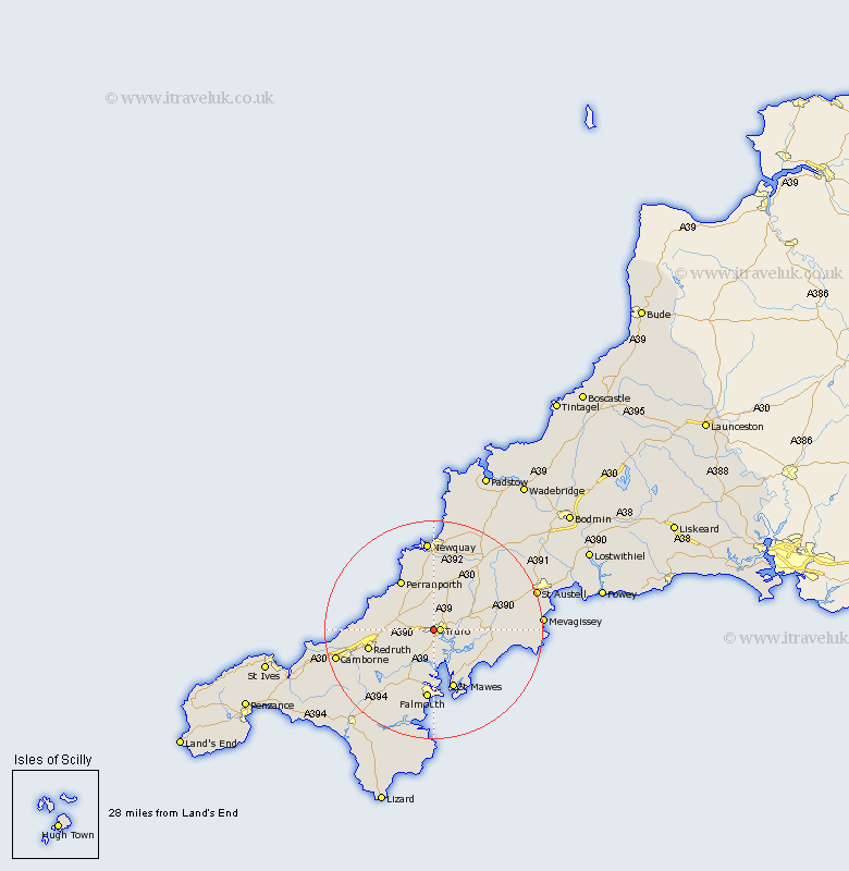
Cornwall Map Showing Location of Kenwyn
Population: 4944
District: Carrick
Easting: 181478 Northing: 45315
Latitude: 50.27 Longitude: -5.07
 = Kenwyn
District: Carrick
Easting: 181478 Northing: 45315
Latitude: 50.27 Longitude: -5.07
= Kenwyn
This Kenwyn map below is supplied by Google. Use the tools in the top left corner to zoom into street level or zoom out for a road map, you may also need to zoom in to see Kenwyn on the map. Click and drag the map to move around. If the map fails to load try and refresh your browser or zoom in or out (+ or -).
Update - it seems Google no longer allow people to use their maps for free! This Kenwyn map sometimes loads and sometimes gives a error. I am working on a solution.
Closest 30 Towns or Cities to Kenwyn (Population over 500)
Truro 1.19km Kea 3.9km Chacewater 7.35km Feock 7.51km Saint Feoch 7.51km St. Feoch 7.51km St Feock 7.51km Saint Feock 7.51km St. Feock 7.51km St Feoch 7.51km Probus 8.49km Gwennap 9.03km St Day 9.09km Saint Day 9.09km St. Day 9.09km Perranzabuloe 9.48km Ladock 9.98km Tregoney 10.66km Perranporth 10.99km Mylor 11.18km Mylor Bridge 11.18km Penryn 11.37km Creed 11.99km Saint Agnes 12.02km St Agnes 12.02km St. Agnes 12.02km Veryan 12.03km Redruth 12.42km Stithians 12.44km Gerrans 12.6km