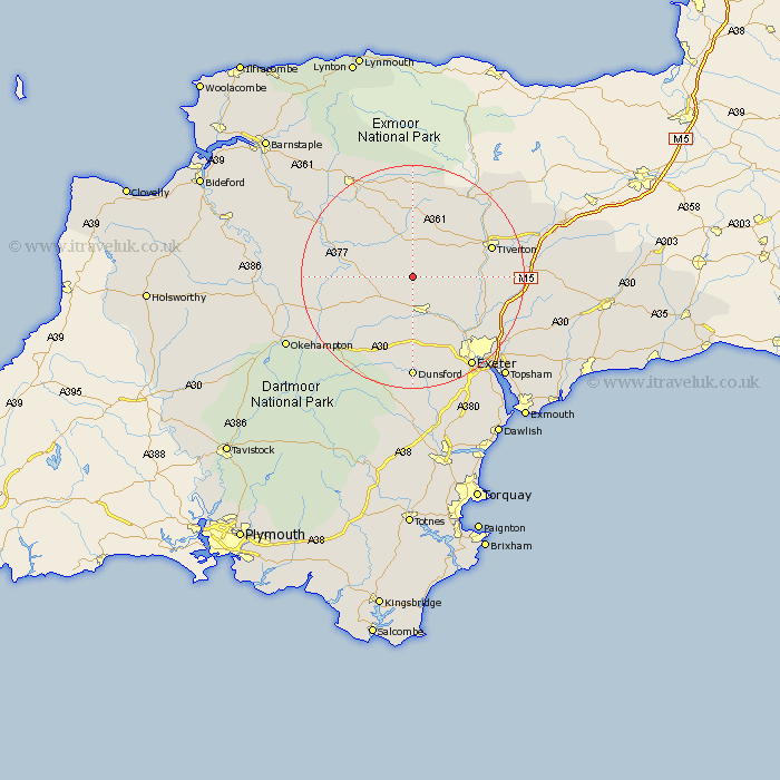
Devon Map Showing Location of Kennerleigh
Population: 80
District: Mid Devon
Easting: 281515 Northing: 107021
Latitude: 50.85 Longitude: -3.68
 = Kennerleigh
District: Mid Devon
Easting: 281515 Northing: 107021
Latitude: 50.85 Longitude: -3.68
= Kennerleigh
This Kennerleigh map below is supplied by Google. Use the tools in the top left corner to zoom into street level or zoom out for a road map, you may also need to zoom in to see Kennerleigh on the map. Click and drag the map to move around. If the map fails to load try and refresh your browser or zoom in or out (+ or -).
Update - it seems Google no longer allow people to use their maps for free! This Kennerleigh map sometimes loads and sometimes gives a error. I am working on a solution.
Closest 30 Towns or Cities to Kennerleigh (Population over 500)
Sandford 3.88km Cheriton Fitzpaine 4.68km Morchard Bishop 4.68km Copplestone 7.27km Crediton 7.77km Witheridge 7.78km Lapford 8.4km Bow 10.89km Nymet Tracey 10.89km Newton Saint Cyres 10.96km Newton St Cyres 10.96km Saint Cyres 10.96km St Cyres 10.96km Newton St. Cyres 10.96km St. Cyres 10.96km Chawleigh 11.9km Thorverton 11.91km Tedburn St. Mary 12.98km Tedburn St Mary 12.98km Tedburn Saint Mary 12.98km Cheriton Bishop 13.44km Whitestone 14.24km Silverton 14.53km Chulmleigh 14.85km Tiverton 15.09km Holcombe Burnell 15.23km Stoke Canon 15.87km North Tawton 16.2km Drewsteignton 18.1km Dunsford 18.53km