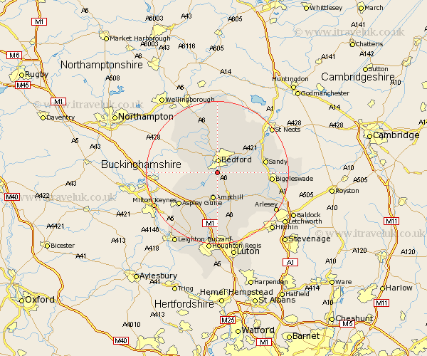
Bedfordshire Map Showing Location of Kempston
Population: 17938
Area Size (ha): 389
District: Bedford
Easting: 503874 Northing: 245760
Latitude: 52.1 Longitude: -0.48
 = Kempston
Area Size (ha): 389
District: Bedford
Easting: 503874 Northing: 245760
Latitude: 52.1 Longitude: -0.48
= Kempston
This Kempston map below is supplied by Google. Use the tools in the top left corner to zoom into street level or zoom out for a road map, you may also need to zoom in to see Kempston on the map. Click and drag the map to move around. If the map fails to load try and refresh your browser or zoom in or out (+ or -).
Update - it seems Google no longer allow people to use their maps for free! This Kempston map sometimes loads and sometimes gives a error. I am working on a solution.
Closest 30 Towns or Cities to Kempston (Population over 500)
Kempston 0km Elstow 1.14km Wootton 2.94km Bedford 3.71km Biddenham 3.87km Wilstead 5.04km Wilshamstead 5.04km Willshamstead 5.04km Wilhamstead 5.04km Clapham 5.56km Houghton Conquest 5.68km Bromham 6.01km Cople 7.08km Marston Moretaine 7.19km Haynes 7.19km Ampthill 7.5km Oakley 7.76km Stevington 8.7km Lidlington 8.7km Willington 8.78km Cranfield 8.79km Milton Ernest 9.54km Maulden 9.54km Pavenham 10.32km Clophill 10.32km Great Barford 10.67km Campton and Chicksands 10.89km Flitwick 11.12km Thurleigh 11.35km Flitton 11.35km