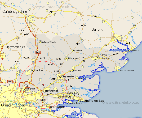
Essex Map Showing Location of Kelvedon Hatch
Population: 2660
Area Size (ha): 55
District: Brentwood
Easting: 557888 Northing: 198955
Latitude: 51.67 Longitude: 0.28
 = Kelvedon Hatch
Area Size (ha): 55
District: Brentwood
Easting: 557888 Northing: 198955
Latitude: 51.67 Longitude: 0.28
= Kelvedon Hatch
This Kelvedon Hatch map below is supplied by Google. Use the tools in the top left corner to zoom into street level or zoom out for a road map, you may also need to zoom in to see Kelvedon Hatch on the map. Click and drag the map to move around. If the map fails to load try and refresh your browser or zoom in or out (+ or -).
Update - it seems Google no longer allow people to use their maps for free! This Kelvedon Hatch map sometimes loads and sometimes gives a error. I am working on a solution.
Closest 30 Towns or Cities to Kelvedon Hatch (Population over 500)
High Ongar 3.88km Chipping Ongar 4.36km Stanford Rivers 4.6km Navestock 5.07km Mountnessing 5.91km Brentwood 6.02km Ingatestone 6.9km Fyfield 7.49km North Weald 8.85km Ongar Station 8.85km Margaretting 9.38km Herongate 9.85km Ingrave 9.89km North Weald Bassett 9.91km Stock 10.51km Billericay 10.75km Roxwell 11.55km Writtle 11.74km Epping 12.07km Theydon Bois 12.64km Ramsden Heath 12.78km Great Burstead 13.07km Galleywood 13.17km Matching 13.76km Chigwell 14.88km West Hanningfield 15.06km Harlow 15.25km Great Baddow 15.39km Loughton 15.4km Hatfield Heath 15.52km