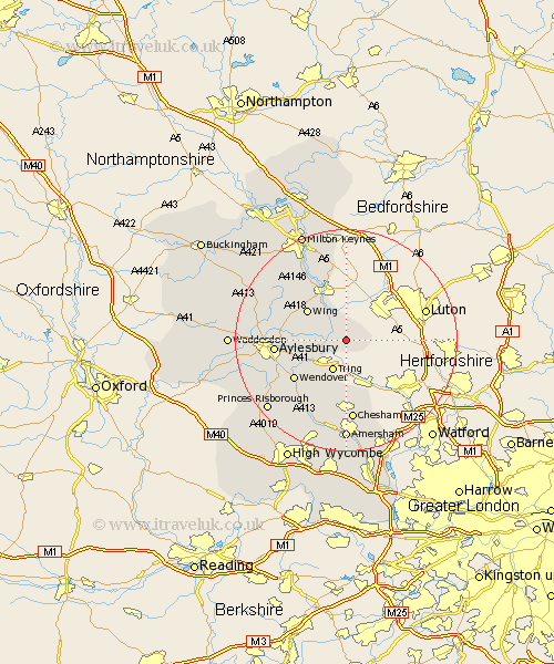
Buckinghamshire Map Showing Location of Ivinghoe
Population: 2378
Area Size (ha): 89
District: Aylesbury Vale
Easting: 495307 Northing: 215919
Latitude: 51.83 Longitude: -0.62
 = Ivinghoe
Area Size (ha): 89
District: Aylesbury Vale
Easting: 495307 Northing: 215919
Latitude: 51.83 Longitude: -0.62
= Ivinghoe
This Ivinghoe map below is supplied by Google. Use the tools in the top left corner to zoom into street level or zoom out for a road map, you may also need to zoom in to see Ivinghoe on the map. Click and drag the map to move around. If the map fails to load try and refresh your browser or zoom in or out (+ or -).
Update - it seems Google no longer allow people to use their maps for free! This Ivinghoe map sometimes loads and sometimes gives a error. I am working on a solution.
Closest 30 Towns or Cities to Ivinghoe (Population over 500)
Pitstone 1.85km Edlesborough 2.95km Cheddington 3.44km Slapton 3.89km Marsworth 3.9km Aston Clinton 7.81km Buckland 7.81km Wing 8.84km Halton 9.76km Weston Turville 10.72km Wendover 11.79km Aylesbury 12.73km Stoke Mandeville 12.74km Stewkley 13.03km Soulbury 13.07km Lee 13.75km Great Brickhill 13.76km Stoke Hammond 14.68km Ellesborough 14.74km Chesham 14.87km Whitechurch 15.88km Whitchurch 15.88km Great Missenden 15.89km Stone 16.46km Kimble 16.81km Great Kimble 16.81km Prestwood 16.86km Bow Brickhill 17.03km Latimer 17.3km Mursley 17.67km