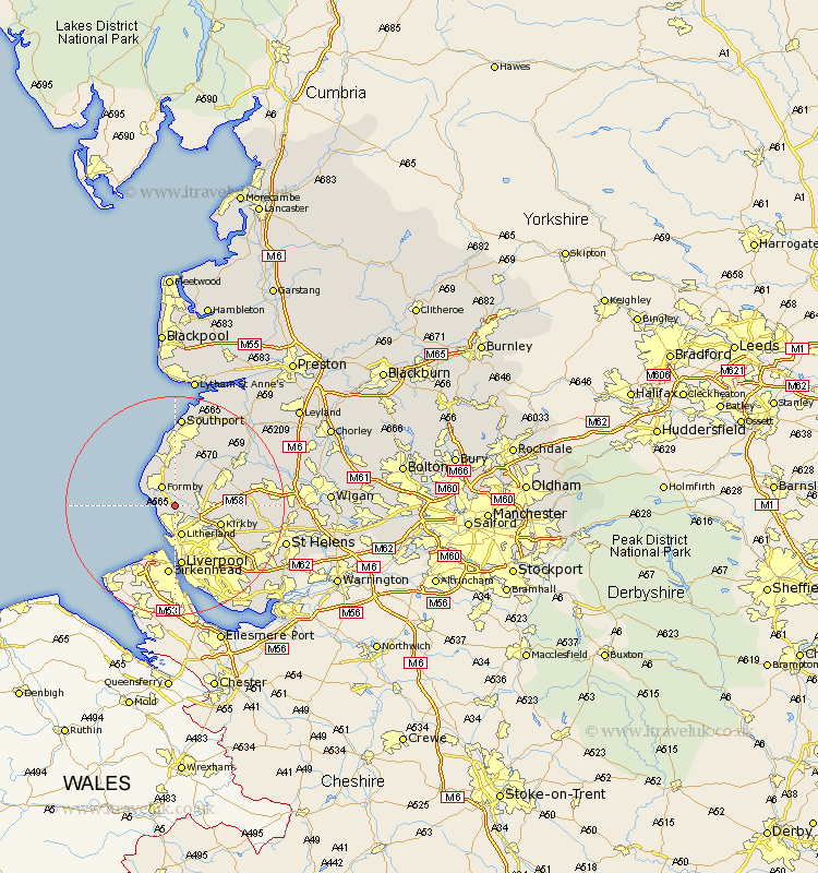
Lancashire Map Showing Location of Ince Blundell
Population: 518
District: Sefton
Easting: 332595 Northing: 402733
Latitude: 53.52 Longitude: -3.02
 = Ince Blundell
District: Sefton
Easting: 332595 Northing: 402733
Latitude: 53.52 Longitude: -3.02
= Ince Blundell
This Ince Blundell map below is supplied by Google. Use the tools in the top left corner to zoom into street level or zoom out for a road map, you may also need to zoom in to see Ince Blundell on the map. Click and drag the map to move around. If the map fails to load try and refresh your browser or zoom in or out (+ or -).
Update - it seems Google no longer allow people to use their maps for free! This Ince Blundell map sometimes loads and sometimes gives a error. I am working on a solution.
Closest 30 Towns or Cities to Ince Blundell (Population over 500)
Thornton 2.16km Hightown 2.2km Lydiate 3.31km Sefton 3.79km Formby 4.31km Maghull 4.41km Crosby 4.46km Bootle 5.56km Litherland 5.67km Aughton 6.86km Melling 7.59km Aintree 7.83km Kirkby 8.56km Halsall 8.62km Ormskirk 9.5km Scarisbrick 10.77km Liverpool 11.17km Bickerstaffe 12.12km Knowsley 13.29km Burscough 14.2km Rainford 14.33km Lathom 14.34km Skelmersdale 14.44km Rufford 16.44km Southport 16.72km Huyton with Roby 17.03km Huyton 17.03km Eccleston 17.13km Parbold 18.1km Prescott 18.15km