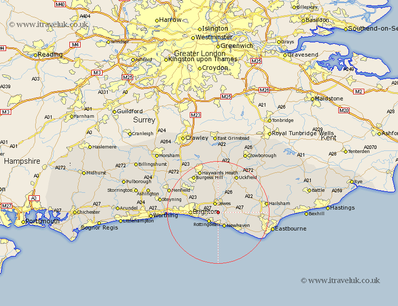
Sussex Map Showing Location of Iford
Population: 194
District: Lewes
Easting: 540822 Northing: 105720
Latitude: 50.83 Longitude: -0
 = Iford
District: Lewes
Easting: 540822 Northing: 105720
Latitude: 50.83 Longitude: -0
= Iford
This Iford map below is supplied by Google. Use the tools in the top left corner to zoom into street level or zoom out for a road map, you may also need to zoom in to see Iford on the map. Click and drag the map to move around. If the map fails to load try and refresh your browser or zoom in or out (+ or -).
Update - it seems Google no longer allow people to use their maps for free! This Iford map sometimes loads and sometimes gives a error. I am working on a solution.
Closest 30 Towns or Cities to Iford (Population over 500)
Kingston near Lewes 2.2km Kingston 2.2km Lewes 3.89km Rottingdean 5.1km Saltdean 5.32km Newhaven 6.03km Plumpton 6.57km Ringmer 7.27km Barcombe Mills Station 7.78km Seaford 10.21km Brighton 10.53km Chalvington 10.69km Laughton 10.88km Alfriston 11.17km Ditchling 11.63km Ditchelling 11.63km Isfield 12.06km Hove 12.88km Chailey 13.03km Keymer 13.17km Hassocks 13.17km Wivelsfield 14.23km Chiddingly 14.85km Newick 14.88km East Hoathly 14.93km Hurstpierpoint 14.93km Southwick 15.22km Portslade 15.22km Framfield 16km Jevington 16.21km