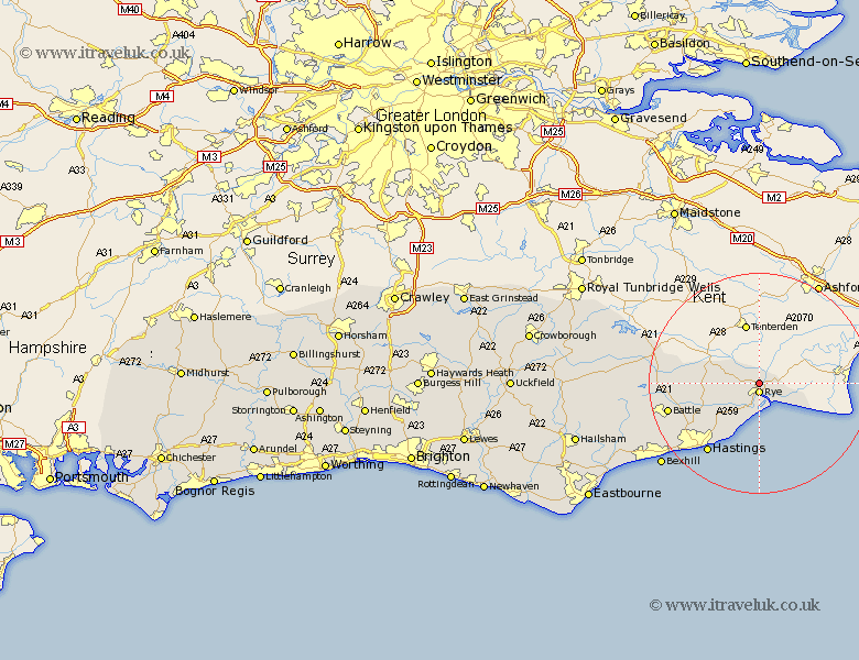
Sussex Map Showing Location of Iden
Population: 454
District: Rother
Easting: 591900 Northing: 122204
Latitude: 50.97 Longitude: 0.73
 = Iden
District: Rother
Easting: 591900 Northing: 122204
Latitude: 50.97 Longitude: 0.73
= Iden
This Iden map below is supplied by Google. Use the tools in the top left corner to zoom into street level or zoom out for a road map, you may also need to zoom in to see Iden on the map. Click and drag the map to move around. If the map fails to load try and refresh your browser or zoom in or out (+ or -).
Update - it seems Google no longer allow people to use their maps for free! This Iden map sometimes loads and sometimes gives a error. I am working on a solution.
Closest 30 Towns or Cities to Iden (Population over 500)
Rye 1.86km Peasmarsh 3.5km Beckley 7km Icklesham 8.77km Northiam 9.52km Pett 10.38km Brede 10.87km Guestling 11.62km Fairlight 11.62km Westfield 13.84km Sedlescombe 15.08km Hastings 15.99km Battle 17.27km Robertsbridge 18.76km Hurst Green 19.03km Mountfield 19.05km Crowhurst 19.78km Etchingham 21.32km Catsfield 21.92km Bexhill 23.35km Ticehurst 23.36km Burwash 24.78km Ninfield 24.83km Wadhurst 29.48km Herstmonceux 29.53km Hurstmonceux 29.53km Hurstmonceaux 29.53km Pevensey Bay 31.71km Warbleton 31.74km Pevensey 32.66km