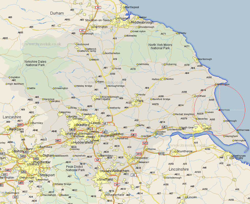
Yorkshire Map Showing Location of Hornsea
Population: 7480
Area Size (ha): 237
Easting: 520444 Northing: 446449
Latitude: 53.9 Longitude: -0.17
 = Hornsea
Area Size (ha): 237
Easting: 520444 Northing: 446449
Latitude: 53.9 Longitude: -0.17
= Hornsea
This Hornsea map below is supplied by Google. Use the tools in the top left corner to zoom into street level or zoom out for a road map, you may also need to zoom in to see Hornsea on the map. Click and drag the map to move around. If the map fails to load try and refresh your browser or zoom in or out (+ or -).
Update - it seems Google no longer allow people to use their maps for free! This Hornsea map sometimes loads and sometimes gives a error. I am working on a solution.
Closest 30 Towns or Cities to Hornsea (Population over 500)
Hornsea 0km Dunnington 7.79km Skipsea 8.11km Brandesburton 8.93km Brandsburton 8.93km Aldbrough 9.83km Beeford 9.89km Leven 10km Skirlaugh Station 10.75km Walkington 12.01km Sproatley 13.02km Tickton 14.68km Preston 14.98km Burton Pidsea 15.45km Sutton 16.29km Sutton-on-Hull 16.29km Sutton on Hull 16.29km Wawne 16.38km Woodmansey 16.96km Beverley 17.99km Cranswick 18.32km Roos 18.35km Hedon 18.57km Burstwick 18.66km Leconfield 18.94km Leckonfield 18.94km Nafferton 19.22km Cottingham 19.25km Hull 19.33km Thorngumbald 20.38km