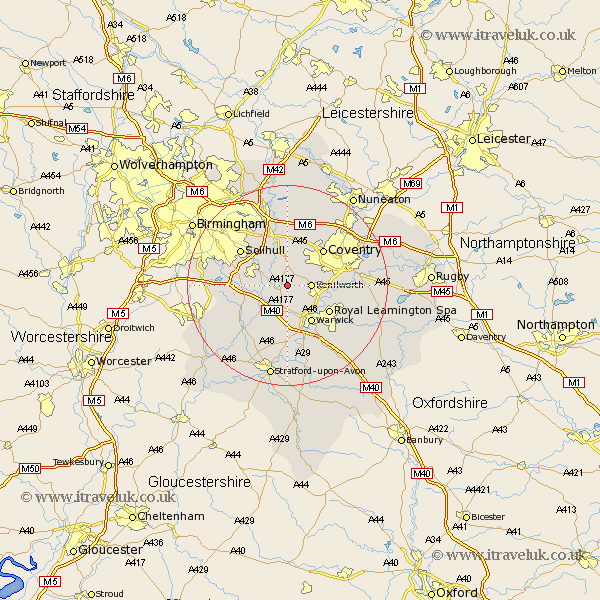
Warwickshire Map Showing Location of Honiley
Population: 62
District: Warwick
Easting: 423837 Northing: 272537
Latitude: 52.35 Longitude: -1.65
 = Honiley
District: Warwick
Easting: 423837 Northing: 272537
Latitude: 52.35 Longitude: -1.65
= Honiley
This Honiley map below is supplied by Google. Use the tools in the top left corner to zoom into street level or zoom out for a road map, you may also need to zoom in to see Honiley on the map. Click and drag the map to move around. If the map fails to load try and refresh your browser or zoom in or out (+ or -).
Update - it seems Google no longer allow people to use their maps for free! This Honiley map sometimes loads and sometimes gives a error. I am working on a solution.
Closest 30 Towns or Cities to Honiley (Population over 500)
Temple Balsall 2.93km Kenilworth 4.53km Rowington 5.03km Hatton 5.56km Berkswell 5.67km Berkeswell 5.67km Shrewley 5.67km Knowle 6.76km Lapworth 7.04km Hampton in Arden 8.16km Warwick 8.69km Stoneleigh 9.06km Meriden 9.53km Royal Leamington Spa 9.68km Leamington 9.68km Leamington Spa 9.68km Claverdon 9.87km Coventry 10.05km Allesley 10.05km Henley in Arden 10.86km Baginton 11.47km Solihull 11.7km Bickenhill 12km Keresley 12.18km Bubbenhall 12.59km Ullenhall 12.62km Corley 13.03km Barford 13.41km Wootton Wawen 13.66km Fillongley 13.74km