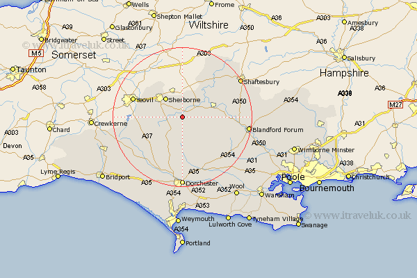
Dorset Map Showing Location of Holwell
Population: 380
District: West Dorset
Easting: 369531 Northing: 111320
Latitude: 50.9 Longitude: -2.43
 = Holwell
District: West Dorset
Easting: 369531 Northing: 111320
Latitude: 50.9 Longitude: -2.43
= Holwell
This Holwell map below is supplied by Google. Use the tools in the top left corner to zoom into street level or zoom out for a road map, you may also need to zoom in to see Holwell on the map. Click and drag the map to move around. If the map fails to load try and refresh your browser or zoom in or out (+ or -).
Update - it seems Google no longer allow people to use their maps for free! This Holwell map sometimes loads and sometimes gives a error. I am working on a solution.
Closest 30 Towns or Cities to Holwell (Population over 500)
Stalbridge 7.26km Sherbourne 7.26km Sherborne 7.26km Buckland Newton 7.51km Leigh 8.98km Yetminster 9.35km Sturminster Newton 10.68km Bradford Abbas 10.68km Marnhull 11.04km Cerne Abbas 11.36km Shillingstone 12.86km Piddletrenthide 13.03km Puddletrenthide 13.03km Stour Provost 14.01km Child Okeford 14.14km Stour 15.3km East Stour 15.3km Milton Abbas 15.31km Stickland Winterborne 15.87km Winterborne Stickland 15.87km Stourpaine 16.47km Maiden Newton 17.53km Puddletown 17.68km Piddletown 17.68km Whitechurch 17.91km Iwerne Minster 17.91km Milborne Saint Andrew 18.18km Milborne 18.18km Milborne St. Andrew 18.18km Milborne St Andrew 18.18km