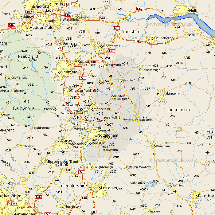
Nottinghamshire Map Showing Location of Holbeck
Population: 449
District: Bassetlaw
Easting: 454484 Northing: 372896
Latitude: 53.25 Longitude: -1.18
 = Holbeck
District: Bassetlaw
Easting: 454484 Northing: 372896
Latitude: 53.25 Longitude: -1.18
= Holbeck
This Holbeck map below is supplied by Google. Use the tools in the top left corner to zoom into street level or zoom out for a road map, you may also need to zoom in to see Holbeck on the map. Click and drag the map to move around. If the map fails to load try and refresh your browser or zoom in or out (+ or -).
Update - it seems Google no longer allow people to use their maps for free! This Holbeck map sometimes loads and sometimes gives a error. I am working on a solution.
Closest 30 Towns or Cities to Holbeck (Population over 500)
Warsop 5.99km Worksop 6.48km Shireoaks 7.5km Mansfield Woodhouse 9.33km Pleasley 10.27km Edwinstowe 10.74km Clipstone 10.8km Ollerton 11.69km Mansfield 13.02km Walesby 13.44km Boughton 13.82km Elkesley 14.53km Elksley 14.53km Blyth 15.11km Hucknall-under-Huthwaite 15.13km Hucknall 15.13km Hucknall under Huthwaite 15.13km Huthwaite 15.13km Rainworth 15.47km Sutton in Ashfield 15.83km Bilsthorpe 16.38km Ramskill 17.06km Ranskill 17.06km Sutton 17.33km Styrrup 17.95km East Retford 18.2km Blidworth 18.83km Kirkby 19.35km Kirkby in Ashfield 19.35km Farnsfield 19.45km