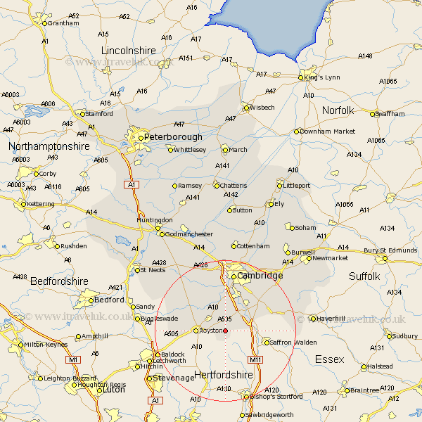
Cambridgeshire Map Showing Location of Heydon
Population: 206
District: South Cambridgeshire
Easting: 542841 Northing: 241162
Latitude: 52.05 Longitude: 0.08
 = Heydon
District: South Cambridgeshire
Easting: 542841 Northing: 241162
Latitude: 52.05 Longitude: 0.08
= Heydon
This Heydon map below is supplied by Google. Use the tools in the top left corner to zoom into street level or zoom out for a road map, you may also need to zoom in to see Heydon on the map. Click and drag the map to move around. If the map fails to load try and refresh your browser or zoom in or out (+ or -).
Update - it seems Google no longer allow people to use their maps for free! This Heydon map sometimes loads and sometimes gives a error. I am working on a solution.
Closest 30 Towns or Cities to Heydon (Population over 500)
Foulmere 3.7km Fowlmere 3.7km Thriplow 5.68km Melborn 5.87km Melbourn 5.87km Duxford 5.87km Ickleton 7.08km Meldreth 7.19km Foxton 7.5km Shepreth 7.76km Barrington 8.17km Whittlesford 8.7km Harston 9.26km Bassingbourn 9.3km Sawston 9.35km Haslingfield 9.54km Shelford 9.87km Hauxton 11.18km Orwell 11.51km Litlington 11.55km Needham Market 11.63km Steeple Morden 13.68km Linton 13.71km Comberton 15.21km Guilden Morden 15.27km Toft 16.32km Coton 16.72km Cambridge 16.83km Hardwick 17.29km Hardwicke 17.29km