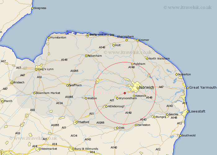
Norfolk Map Showing Location of Hethersett
Population: 4242
Area Size (ha): 123
District: South Norfolk
Easting: 615553 Northing: 305044
Latitude: 52.6 Longitude: 1.18
 = Hethersett
Area Size (ha): 123
District: South Norfolk
Easting: 615553 Northing: 305044
Latitude: 52.6 Longitude: 1.18
= Hethersett
This Hethersett map below is supplied by Google. Use the tools in the top left corner to zoom into street level or zoom out for a road map, you may also need to zoom in to see Hethersett on the map. Click and drag the map to move around. If the map fails to load try and refresh your browser or zoom in or out (+ or -).
Update - it seems Google no longer allow people to use their maps for free! This Hethersett map sometimes loads and sometimes gives a error. I am working on a solution.
Closest 30 Towns or Cities to Hethersett (Population over 500)
Cringleford 4.5km Hellesdon 5.83km Wymondham 5.83km Swardeston 5.83km Costessey 6km Mulbarton 6.51km Taverham 7.41km Ashwellthorpe 7.42km Drayton 7.75km Norwich 8.7km Saxlingham 9.31km Saxlingham Thorpe 9.31km Stoke Holy Cross 9.65km Horsford 10.3km Hockering 10.82km Forncett St. Mary 11.18km Forncett 11.18km Forncett St Mary 11.18km Forncett Saint Mary 11.18km Horsham 11.46km Horsham Saint Faith 11.46km Horsham St. Faith 11.46km Horsham St Faith 11.46km Mattishall 11.55km Thorpe 11.85km Thorpe next Norwich 11.85km Thorpe St Andrew 11.85km Thorpe St. Andrew 11.85km Thorpe Episcopi 11.85km Thorpe Saint Andrew 11.85km