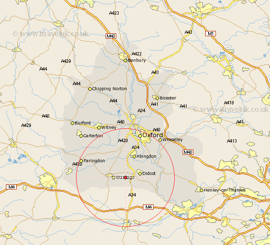
Oxfordshire Map Showing Location of Hendred
District: Vale of White Horse
Easting: 446186 Northing: 187423
Latitude: 51.58 Longitude: -1.33
 = Hendred
Easting: 446186 Northing: 187423
Latitude: 51.58 Longitude: -1.33
= Hendred
This Hendred map below is supplied by Google. Use the tools in the top left corner to zoom into street level or zoom out for a road map, you may also need to zoom in to see Hendred on the map. Click and drag the map to move around. If the map fails to load try and refresh your browser or zoom in or out (+ or -).
Update - it seems Google no longer allow people to use their maps for free! This Hendred map sometimes loads and sometimes gives a error. I am working on a solution.
Closest 30 Towns or Cities to Hendred (Population over 500)
Steventon 3.89km Harwell 3.92km Milton 4.37km Wantage 4.61km Chilton 5.91km Hanney 5.92km East Hanney 5.92km Drayton 6.02km Didcot 6.05km Hagbourne 6.91km East Hagbourne 6.91km Sutton Courtenay 7.22km Marcham 7.42km Blewbury 7.84km East Challow 8.06km Letcombe Regis 8.27km Long Wittenham 8.87km Abingdon-on-Thames 9.89km Abingdon on Thames 9.89km Abingdon 9.89km Childrey 10.36km Kingston Bagpuize 10.91km Kingston Bagpuze 10.91km Sunningwell 11.64km Clifton Hampden 11.82km Dorchester 12.78km Stanford in the Vale 12.78km Cholsey 12.8km Longworth 13.09km Radley 13.09km