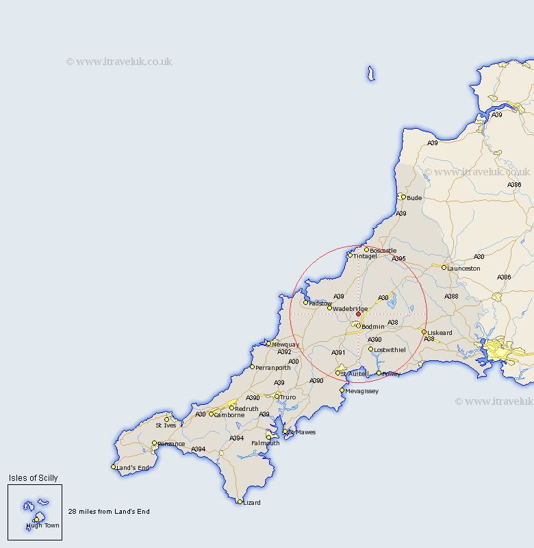
Cornwall Map Showing Location of Helland
Population: 205
District: North Cornwall
Easting: 207363 Northing: 70280
Latitude: 50.5 Longitude: -4.72
 = Helland
District: North Cornwall
Easting: 207363 Northing: 70280
Latitude: 50.5 Longitude: -4.72
= Helland
This Helland map below is supplied by Google. Use the tools in the top left corner to zoom into street level or zoom out for a road map, you may also need to zoom in to see Helland on the map. Click and drag the map to move around. If the map fails to load try and refresh your browser or zoom in or out (+ or -).
Update - it seems Google no longer allow people to use their maps for free! This Helland map sometimes loads and sometimes gives a error. I am working on a solution.
Closest 30 Towns or Cities to Helland (Population over 500)
Blisland 3km Bodmin 3.7km Cardingham 5.07km Cardinham 5.07km Lanivet 6.59km Wadebridge 8.46km St Blazey 11.12km Saint Blazey 11.12km St. Blazey 11.12km Lostwithiel 11.67km Camelford 13.19km Stenalees 13.82km Roche 13.85km St. Issey 14.15km Saint Issey 14.15km St Issey 14.15km Bugle 14.26km Dobwalls 15.21km Padstow 15.76km Par 16.68km Lanreath 16.77km Tywardreath 16.85km St Columb 17.03km St. Columb 17.03km Saint Columb 17.03km St Columb Major 17.03km Saint Columb Major 17.03km St. Columb Major 17.03km Altarnun 17.07km Saint Denis 17.54km