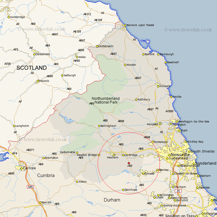
Northumberland Map Showing Location of Healey
Population: 194
District: Tynedale
Easting: 402136 Northing: 558009
Latitude: 54.92 Longitude: -1.97
 = Healey
District: Tynedale
Easting: 402136 Northing: 558009
Latitude: 54.92 Longitude: -1.97
= Healey
This Healey map below is supplied by Google. Use the tools in the top left corner to zoom into street level or zoom out for a road map, you may also need to zoom in to see Healey on the map. Click and drag the map to move around. If the map fails to load try and refresh your browser or zoom in or out (+ or -).
Update - it seems Google no longer allow people to use their maps for free! This Healey map sometimes loads and sometimes gives a error. I am working on a solution.
Closest 30 Towns or Cities to Healey (Population over 500)
Ridingmill 1.85km Riding 1.85km Stocksfield 3.69km Slaley 4.65km Corbridge 6.41km Prudhoe 8.32km Ovingham 8.47km Sandhoe 9.12km Wylam 9.3km Hexham 10.17km Acomb 11.28km Warden 12.97km Stamfordham 14.45km Challerton 15.51km Chollerton 15.51km Newburn 15.91km Newbrough 16.65km Humshaugh 16.77km Haydon Bridge 17.92km Ponteland 20.27km Woolsington 21.23km Wark 23.08km Dinnington 23.38km Newcastle on Tyne 24.07km Newcastle-on-Tyne 24.07km Newcastle 24.07km Newcastle upon Tyne 24.07km Gosforth 24.19km Longbenton 27.17km Long Benton 27.17km