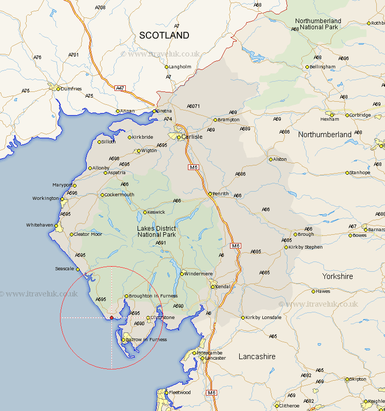
Cumbria Map Showing Location of Haverigg
District: Copeland
Easting: 315205 Northing: 479048
Latitude: 54.2 Longitude: -3.3
 = Haverigg
Easting: 315205 Northing: 479048
Latitude: 54.2 Longitude: -3.3
= Haverigg
This Haverigg map below is supplied by Google. Use the tools in the top left corner to zoom into street level or zoom out for a road map, you may also need to zoom in to see Haverigg on the map. Click and drag the map to move around. If the map fails to load try and refresh your browser or zoom in or out (+ or -).
Update - it seems Google no longer allow people to use their maps for free! This Haverigg map sometimes loads and sometimes gives a error. I am working on a solution.
Closest 30 Towns or Cities to Haverigg (Population over 500)
Millom 2.17km Askam in Furness 5.73km Askam 5.73km Bootle 8.59km Dalton 10.31km Dalton in Furness 10.31km Lindal 10.44km Lindal in Furness 10.44km Pennington 11km Ulverston 13.01km Ulverstone 13.01km Great Urswick 13.16km Isle of Walney 13.68km Aldingham 15.98km Colton 17.86km Haverthwaite 18.79km Lower Holker 21.76km Holker 21.76km Seascale 23.6km Gosforth 23.86km Coniston 23.94km Conistan 23.94km Hawkshead 26.89km Arnside 30.42km Windermere 31.03km Ambleside 32.38km Egremont 32.81km Levens 34.04km Beetham 34.69km Milnthorpe 34.73km