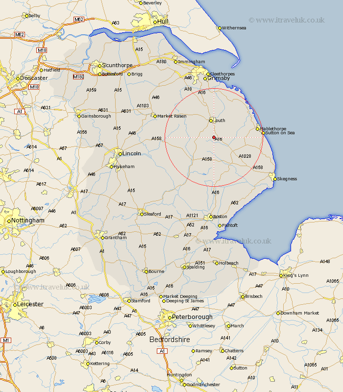
Lincolnshire Map Showing Location of Haugham
Population: 33
District: East Lindsey
Easting: 533267 Northing: 380012
Latitude: 53.3 Longitude: -0
 = Haugham
District: East Lindsey
Easting: 533267 Northing: 380012
Latitude: 53.3 Longitude: -0
= Haugham
This Haugham map below is supplied by Google. Use the tools in the top left corner to zoom into street level or zoom out for a road map, you may also need to zoom in to see Haugham on the map. Click and drag the map to move around. If the map fails to load try and refresh your browser or zoom in or out (+ or -).
Update - it seems Google no longer allow people to use their maps for free! This Haugham map sometimes loads and sometimes gives a error. I am working on a solution.
Closest 30 Towns or Cities to Haugham (Population over 500)
Legbourne 4.97km Louth 7.5km Grimoldby 9.25km Manby 9.95km Alford 13.4km Horncastle 13.56km Banovallum 13.56km Mareham on the Hill 13.71km Mareham 13.71km Mareham-on-the-Hill 13.71km Spilsby 14.58km Willoughby 16.21km Saltfleetby St Clement 16.48km Saltfleetby Saint Clement 16.48km Saltfleetby St. Clement 16.48km Saltfleetby 16.48km Fulstow 16.72km Mablethorpe 17.01km Saltfleet 17.79km North Somercotes 17.85km Huttoft 18.58km North Coates 18.67km North Thoresby 18.83km Sutton-on-Sea 18.92km Sutton on Sea 18.92km binbrook 19.17km Grainthorpe 19.34km Wragby 20.03km Tetney 20.41km Woodhall Spa 22.05km