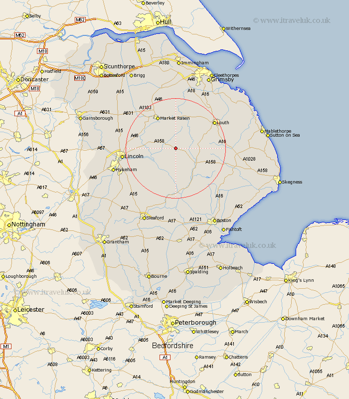
Lincolnshire Map Showing Location of Hatton
Population: 113
District: East Lindsey
Easting: 517813 Northing: 375898
Latitude: 53.27 Longitude: -0.23
 = Hatton
District: East Lindsey
Easting: 517813 Northing: 375898
Latitude: 53.27 Longitude: -0.23
= Hatton
This Hatton map below is supplied by Google. Use the tools in the top left corner to zoom into street level or zoom out for a road map, you may also need to zoom in to see Hatton on the map. Click and drag the map to move around. If the map fails to load try and refresh your browser or zoom in or out (+ or -).
Update - it seems Google no longer allow people to use their maps for free! This Hatton map sometimes loads and sometimes gives a error. I am working on a solution.
Closest 30 Towns or Cities to Hatton (Population over 500)
Wragby 4.8km Holton 7.61km Bardney 7.85km Horncastle 10.74km Banovallum 10.74km Woodhall Spa 13.02km Cherry Willingham 13.36km Reepham 13.81km Fiskerton 13.81km Sudbrooke 14.41km Mareham on the Hill 14.46km Mareham-on-the-Hill 14.46km Mareham 14.46km Scothern 14.52km Market Rasen 14.57km Potter Hanworth 15.33km Middle Rasen 15.7km Dunholm 15.95km Dunholme 15.95km Washingborough 16.49km Nocton 16.51km Nettleham 16.63km Welton 17.03km Dunston 17.08km Heighington 17.21km Coningsby 17.26km Martin 17.96km Branston 18.09km Louth 18.19km Metheringham 18.53km