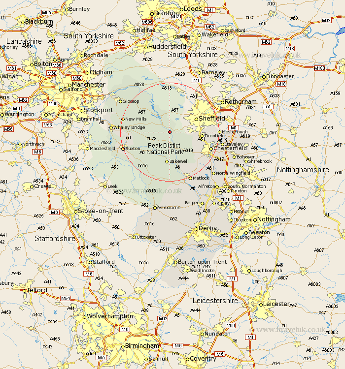
Derbyshire Map Showing Location of Hathersage
Population: 1286
District: Derbyshire Dales
Easting: 423314 Northing: 380061
Latitude: 53.32 Longitude: -1.65
 = Hathersage
District: Derbyshire Dales
Easting: 423314 Northing: 380061
Latitude: 53.32 Longitude: -1.65
= Hathersage
This Hathersage map below is supplied by Google. Use the tools in the top left corner to zoom into street level or zoom out for a road map, you may also need to zoom in to see Hathersage on the map. Click and drag the map to move around. If the map fails to load try and refresh your browser or zoom in or out (+ or -).
Update - it seems Google no longer allow people to use their maps for free! This Hathersage map sometimes loads and sometimes gives a error. I am working on a solution.
Closest 30 Towns or Cities to Hathersage (Population over 500)
Grindleford Bridge 3.88km Grindleford 3.88km Eyam 3.88km Bamford 4.31km Stoney Middleton 5.56km Stony Middleton 5.56km Bradwell 6.64km Hope 7.6km Castleton 7.97km Baslow 9.54km Tideswell 9.54km Holmesfield 9.61km Great Longstone 9.85km Longstone 9.85km Dronfield 12.32km Barlow 12.39km Bakewell 13.02km Old Brampton 13.62km Brampton 13.62km Unstone 14.87km Walton 16.5km Chapel en le Frith 16.61km Darley Dale 17.01km Youlgreave 17.01km Chesterfield 17.19km Middleton 17.26km Brimington 18.2km New Mills 18.56km Mosbrough 18.82km Mosborough 18.82km