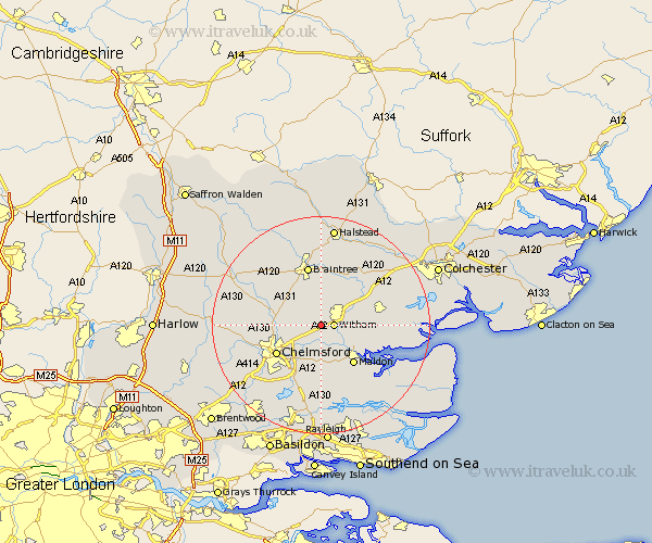
Essex Map Showing Location of Hatfield Peverel
Population: 3357
Area Size (ha): 101
District: Braintree
Easting: 579320 Northing: 212651
Latitude: 51.78 Longitude: 0.6
 = Hatfield Peverel
Area Size (ha): 101
District: Braintree
Easting: 579320 Northing: 212651
Latitude: 51.78 Longitude: 0.6
= Hatfield Peverel
This Hatfield Peverel map below is supplied by Google. Use the tools in the top left corner to zoom into street level or zoom out for a road map, you may also need to zoom in to see Hatfield Peverel on the map. Click and drag the map to move around. If the map fails to load try and refresh your browser or zoom in or out (+ or -).
Update - it seems Google no longer allow people to use their maps for free! This Hatfield Peverel map sometimes loads and sometimes gives a error. I am working on a solution.
Closest 30 Towns or Cities to Hatfield Peverel (Population over 500)
Witham 2.29km Boreham 3.9km Terling 3.91km Wickham Bishops 4.59km Little Baddow 6.01km Great Leighs 6.83km Great Totham 7.12km Totham 7.12km Rivenhall 7.21km Cressing 7.42km Heybridge 7.99km Black Notley 8.18km Little Waltham 8.24km Kelvedon 8.84km Rayne 9.34km Bradwell 9.34km Tiptree 9.36km Broomfield 9.36km Maldon 9.37km Malden 9.37km Woodham Mortimer 9.54km Danbury 9.54km Chelmsford 9.77km Great Waltham 10.32km Coggeshall 10.9km Feering 10.92km Bickacre 11.18km Bicknacre 11.18km Stisted 11.18km Braintree 11.35km