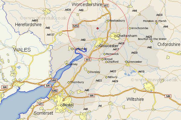
Gloucestershire Map Showing Location of Hasfield
Population: 126
District: Tewkesbury
Easting: 382819 Northing: 228022
Latitude: 51.95 Longitude: -2.25
 = Hasfield
District: Tewkesbury
Easting: 382819 Northing: 228022
Latitude: 51.95 Longitude: -2.25
= Hasfield
This Hasfield map below is supplied by Google. Use the tools in the top left corner to zoom into street level or zoom out for a road map, you may also need to zoom in to see Hasfield on the map. Click and drag the map to move around. If the map fails to load try and refresh your browser or zoom in or out (+ or -).
Update - it seems Google no longer allow people to use their maps for free! This Hasfield map sometimes loads and sometimes gives a error. I am working on a solution.
Closest 30 Towns or Cities to Hasfield (Population over 500)
Ashleworth 2.18km Corse 3.9km Deerhurst 3.9km Hartpury 5.05km Staverton 6.81km Redmarley D'Abitot 7.79km Innsworth 8.17km Tewkesbury 8.82km Tibberton 8.83km Churchdown 9.36km Newent 10.45km Swindon 10.45km Ashchurch 10.69km Hucclecote 12.02km Brockworth 12.5km Bishops Cleeve 12.56km Cheltenham 12.71km Gloucester 12.98km Shurdington 13.02km Dymock 13.09km Southam 13.83km Huntley 13.84km Leckhampton 14.71km Quedgeley 15km Hardwicke 15.21km Charlton Kings 15.62km Longhope 16.55km Alderton 17.52km Milcheldean 18.49km Mitcheldean 18.49km