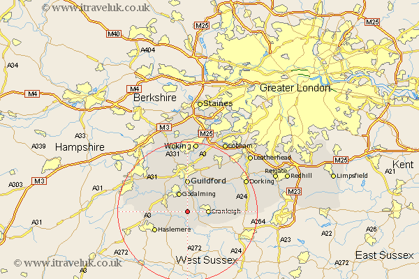
Surrey Map Showing Location of Hascombe
Population: 274
District: Waverley
Easting: 500276 Northing: 138149
Latitude: 51.13 Longitude: -0.57
 = Hascombe
District: Waverley
Easting: 500276 Northing: 138149
Latitude: 51.13 Longitude: -0.57
= Hascombe
This Hascombe map below is supplied by Google. Use the tools in the top left corner to zoom into street level or zoom out for a road map, you may also need to zoom in to see Hascombe on the map. Click and drag the map to move around. If the map fails to load try and refresh your browser or zoom in or out (+ or -).
Update - it seems Google no longer allow people to use their maps for free! This Hascombe map sometimes loads and sometimes gives a error. I am working on a solution.
Closest 30 Towns or Cities to Hascombe (Population over 500)
Dunsfold 3.7km Hambledon 3.95km Witley 4.65km Chiddingfold 5.09km Bramley 5.68km Cranleigh 5.81km Milford 5.95km Goldaming 6.03km Godalming 6.03km Wonersh 6.03km Alfold 6.57km Shalford 7.42km Compton 8.75km Guilford 9.27km Guildford 9.27km Ewhurst 9.3km Albury 9.42km St Martha 9.91km Saint Martha 9.91km Chilworth 9.91km St. Martha 9.91km Elstead 10.01km Shere 10.18km Puttenham 10.18km Thursley 10.47km Haslemere 10.84km Hindhead 12.21km Seale 12.82km Abinger 12.88km West Clandon 13.78km