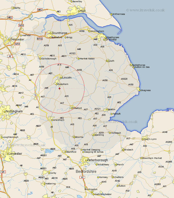
Lincolnshire Map Showing Location of Harmston
Population: 453
District: North Kesteven
Easting: 496960 Northing: 362443
Latitude: 53.15 Longitude: -0.55
 = Harmston
District: North Kesteven
Easting: 496960 Northing: 362443
Latitude: 53.15 Longitude: -0.55
= Harmston
This Harmston map below is supplied by Google. Use the tools in the top left corner to zoom into street level or zoom out for a road map, you may also need to zoom in to see Harmston on the map. Click and drag the map to move around. If the map fails to load try and refresh your browser or zoom in or out (+ or -).
Update - it seems Google no longer allow people to use their maps for free! This Harmston map sometimes loads and sometimes gives a error. I am working on a solution.
Closest 30 Towns or Cities to Harmston (Population over 500)
Waddington 2.16km North Hykeham 4.32km Hykeham 4.32km Aubourn 4.45km Wellingore 5.67km Navenby 5.99km Branston 6.68km Thorpe on the Hill 6.68km Thorpe-on-the-Hill 6.68km Thorpe 6.68km Bassingham 6.68km Heighington 7.86km Nocton 9.08km Welbourn 9.26km Washingborough 9.26km Lincoln 9.33km Potter Hanworth 9.63km Eagle 9.63km Dunston 10km Swinderby 10km Metheringham 10.18km Skellingthorpe 10.27km Scopwick 11.45km Bloxholm 11.58km Bloxholme 11.58km Reepham 12.09km Fiskerton 12.09km Cherry Willingham 12.47km Fulbeck 13.17km North Scarle 13.42km