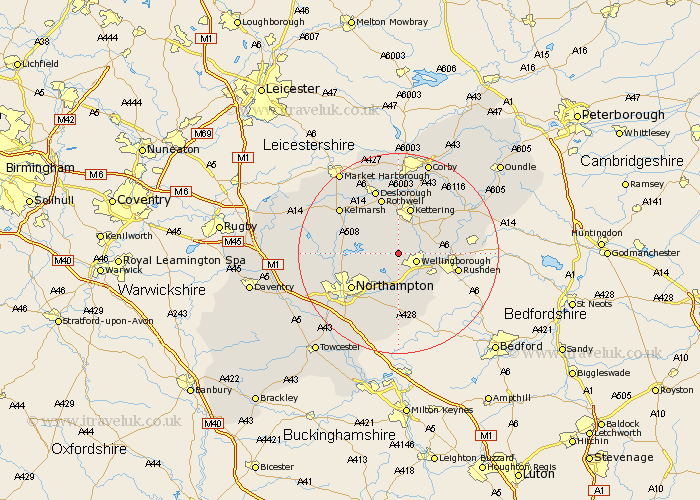
Northamptonshire Map Showing Location of Hardwick
Population: 70
District: Wellingborough
Easting: 485196 Northing: 269511
Latitude: 52.32 Longitude: -0.75
 = Hardwick
District: Wellingborough
Easting: 485196 Northing: 269511
Latitude: 52.32 Longitude: -0.75
= Hardwick
This Hardwick map below is supplied by Google. Use the tools in the top left corner to zoom into street level or zoom out for a road map, you may also need to zoom in to see Hardwick on the map. Click and drag the map to move around. If the map fails to load try and refresh your browser or zoom in or out (+ or -).
Update - it seems Google no longer allow people to use their maps for free! This Hardwick map sometimes loads and sometimes gives a error. I am working on a solution.
Closest 30 Towns or Cities to Hardwick (Population over 500)
Wellingborough 3.87km Sywell 4.35km Walgrave 4.89km Isham 5.02km Broughton 5.67km Overstone 5.86km Wilby 6km Great Doddington 6.52km Doddington 6.52km Burton Latimer 6.77km Earls Barton 7.42km Moulton 7.75km Finedon 8.14km Great Billing 8.69km Billing 8.69km Pitsford 9.25km Whiston 9.27km Wollaston 9.33km Kettering 9.54km Irchester 9.69km Brixworth 10.2km Irthlingborough 10.2km Boughton 10.86km Higham Ferrers 11.48km Rothwell 11.63km Rowell 11.63km Northampton 11.72km Rushden 11.93km Great Houghton 12.48km Houghton 12.48km