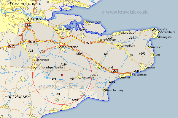
Kent Map Showing Location of Cranbrook
Population: 3523
Area Size (ha): 108
District: Tunbridge Wells
Easting: 577415 Northing: 134665
Latitude: 51.08 Longitude: 0.53
 = Cranbrook
Area Size (ha): 108
District: Tunbridge Wells
Easting: 577415 Northing: 134665
Latitude: 51.08 Longitude: 0.53
= Cranbrook
This Cranbrook map below is supplied by Google. Use the tools in the top left corner to zoom into street level or zoom out for a road map, you may also need to zoom in to see Cranbrook on the map. Click and drag the map to move around. If the map fails to load try and refresh your browser or zoom in or out (+ or -).
Update - it seems Google no longer allow people to use their maps for free! This Cranbrook map sometimes loads and sometimes gives a error. I am working on a solution.
Closest 30 Towns or Cities to Cranbrook (Population over 500)
Beneden 5.09km Benenden 5.09km Hawkhurst 6.03km Goudhurst 6.11km Frittenden 6.56km Biddenden 7.23km Staplehurst 7.42km Sandhurst 7.76km Horsmonden 7.91km Rolvenden 8.93km Headcorn 9.43km Marden 9.56km Lamberhurst 10.48km Brenchley 10.84km Tenterden 11.8km Smarden 11.86km High Halden 12.81km Sutton Valence 13.44km Hunton 13.44km Paddock Wood 13.98km Boughton Monchelsea 14.83km Linton 14.88km Wittersham 14.89km Ulcombe 15.32km Pembury 16.12km Yalding 16.39km Woodchurch 16.41km East Peckham 16.67km Bethersden 16.71km Loose 16.72km