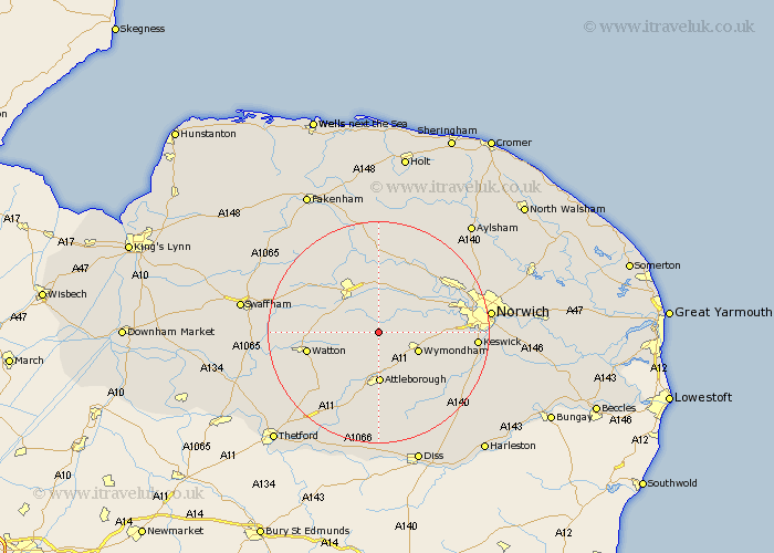
Norfolk Map Showing Location of Hardingham
Population: 274
District: Breckland
Easting: 604271 Northing: 304558
Latitude: 52.6 Longitude: 1.02
 = Hardingham
District: Breckland
Easting: 604271 Northing: 304558
Latitude: 52.6 Longitude: 1.02
= Hardingham
This Hardingham map below is supplied by Google. Use the tools in the top left corner to zoom into street level or zoom out for a road map, you may also need to zoom in to see Hardingham on the map. Click and drag the map to move around. If the map fails to load try and refresh your browser or zoom in or out (+ or -).
Update - it seems Google no longer allow people to use their maps for free! This Hardingham map sometimes loads and sometimes gives a error. I am working on a solution.
Closest 30 Towns or Cities to Hardingham (Population over 500)
Hingham 2.92km Mattishall 5.67km Yaxham 6.5km Wymondham 7.7km Shipdham 8.09km Hockering 8.15km Great Ellingham 8.15km Carbrooke 9.2km Carbooke 9.2km Attleborough 9.26km Besthorpe 9.33km Rockland St Peter 10.03km Rockland St. Peter 10.03km Rockland 10.03km Rockland Saint Peter 10.03km Dereham 10.84km East Dereham 10.84km Hethersett 11.26km Griston 11.56km Watton 12.93km Old Buckenham 13.17km Lyng 13.41km Taverham 13.47km Ashwellthorpe 13.49km Hockham 14.31km Costessey 14.6km Beetley 14.62km Ashill 14.63km Bawdeswell 14.86km Bunwell 15.19km