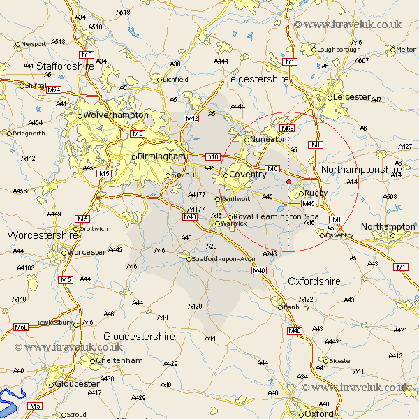
Warwickshire Map Showing Location of Harborough Magna
Population: 461
District: Rugby
Easting: 447621 Northing: 278270
Latitude: 52.4 Longitude: -1.3
 = Harborough Magna
District: Rugby
Easting: 447621 Northing: 278270
Latitude: 52.4 Longitude: -1.3
= Harborough Magna
This Harborough Magna map below is supplied by Google. Use the tools in the top left corner to zoom into street level or zoom out for a road map, you may also need to zoom in to see Harborough Magna on the map. Click and drag the map to move around. If the map fails to load try and refresh your browser or zoom in or out (+ or -).
Update - it seems Google no longer allow people to use their maps for free! This Harborough Magna map sometimes loads and sometimes gives a error. I am working on a solution.
Closest 30 Towns or Cities to Harborough Magna (Population over 500)
Brinklow 3.39km Long Lawford 3.7km Rugby 5.02km Clifton on Dunsmore 5.95km Clifton upon Dunsmore 5.95km Clifton 5.95km Clifton-on-Dunsmore 5.95km Wolston 6.76km Dunchurch 7.5km Brandon 7.73km Shilton 8.77km Wolvey 10.31km Bulkington 10.84km Baginton 12.98km Bedworth 13.52km Bubbenhall 13.53km Stockton 15.21km Stoneleigh 15.72km Long Itchington 15.87km Keresley 16.25km Allesley 17.06km Coventry 17.06km Nuneaton 17.2km Southam 17.61km Corley 17.84km Napton-on-the-Hill 18.57km Napton on the Hill 18.57km Napton 18.57km Royal Leamington Spa 19.36km Leamington Spa 19.36km