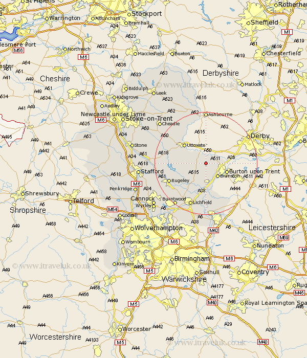
Staffordshire Map Showing Location of Hanbury
Population: 514
District: East Staffordshire
Easting: 417963 Northing: 326267
Latitude: 52.83 Longitude: -1.73
 = Hanbury
District: East Staffordshire
Easting: 417963 Northing: 326267
Latitude: 52.83 Longitude: -1.73
= Hanbury
This Hanbury map below is supplied by Google. Use the tools in the top left corner to zoom into street level or zoom out for a road map, you may also need to zoom in to see Hanbury on the map. Click and drag the map to move around. If the map fails to load try and refresh your browser or zoom in or out (+ or -).
Update - it seems Google no longer allow people to use their maps for free! This Hanbury map sometimes loads and sometimes gives a error. I am working on a solution.
Closest 30 Towns or Cities to Hanbury (Population over 500)
Hatton 3.49km Anslow 3.83km Tutbury 3.84km Rolleston 5.6km Marchington 5.82km Tatenhill 5.99km Branston 7.14km Yoxall 9.85km Abbots Bromley 10.25km Uttoxeter 10.79km Alrewas 12.96km Colton 14.38km Rocester 14.61km Armitage 15.01km Edingale 15.2km Rugeley 15.35km Longdon 16.43km Elford 16.72km Denstone 16.77km Denston 16.77km Whittington 16.83km Lichfield 17.6km Colwich 17.7km Alton 17.92km Leigh 18.2km Church Leigh 18.2km Checkley 18.3km Clifton Campville 18.43km Mayfield 18.67km Weston upon Trent 19.03km