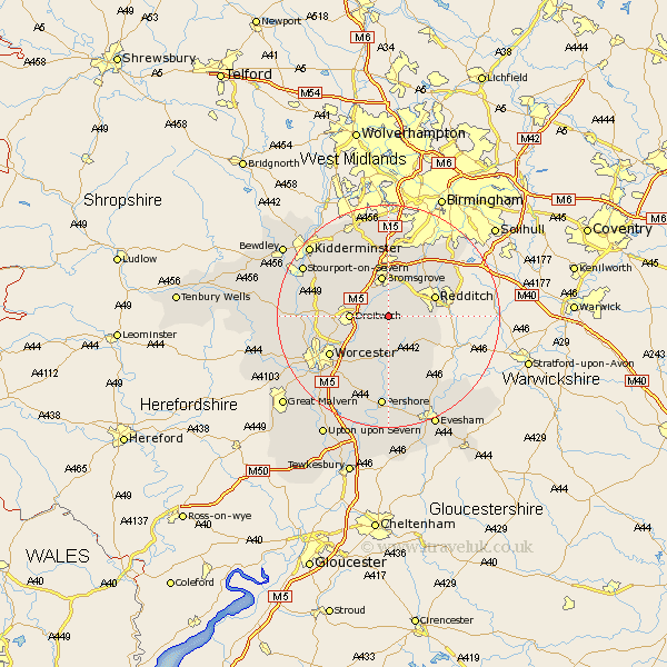
Worcestershire Map Showing Location of Hanbury
Population: 809
District: Wychavon
Easting: 396588 Northing: 263216
Latitude: 52.27 Longitude: -2.05
 = Hanbury
District: Wychavon
Easting: 396588 Northing: 263216
Latitude: 52.27 Longitude: -2.05
= Hanbury
This Hanbury map below is supplied by Google. Use the tools in the top left corner to zoom into street level or zoom out for a road map, you may also need to zoom in to see Hanbury on the map. Click and drag the map to move around. If the map fails to load try and refresh your browser or zoom in or out (+ or -).
Update - it seems Google no longer allow people to use their maps for free! This Hanbury map sometimes loads and sometimes gives a error. I am working on a solution.
Closest 30 Towns or Cities to Hanbury (Population over 500)
Stoke Prior 3.87km Feckenham 4.9km Droitwich 6.81km Bromsgrove 7.49km Astwood Bank 8.15km Crowle 8.7km Redditch 8.76km Radditch 8.76km Inkberrow 9.34km Great Dodford 9.87km Dodford 9.87km Alvechurch 10.05km Barnt Green 10.31km Fernhill Heath 10.87km Lickey 11.12km Lickey End 11.12km Bishampton 11.35km Beoley 11.62km Coston Hackett 12.01km Cofton Hackett 12.01km Chaddesley Corbett 12.19km Ombersley 12.48km Worcester 12.62km Peopleton 13.42km Holt 13.74km Grimley 14.11km Hartlebury 14.5km Church Lench 14.66km Hallow 14.71km Stone 15.09km