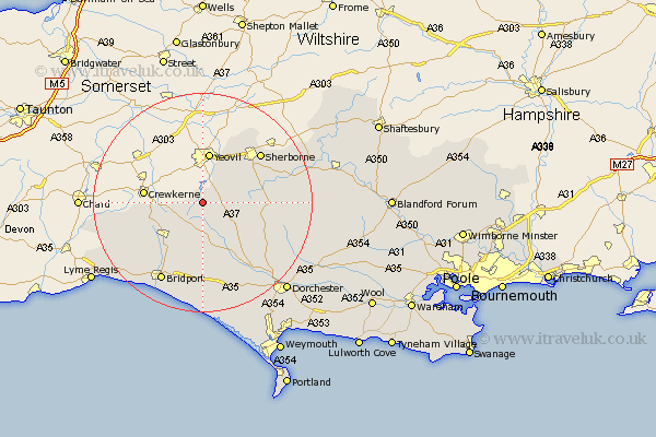
Dorset Map Showing Location of Halstock
Population: 470
District: West Dorset
Easting: 354263 Northing: 107729
Latitude: 50.87 Longitude: -2.65
 = Halstock
District: West Dorset
Easting: 354263 Northing: 107729
Latitude: 50.87 Longitude: -2.65
= Halstock
This Halstock map below is supplied by Google. Use the tools in the top left corner to zoom into street level or zoom out for a road map, you may also need to zoom in to see Halstock on the map. Click and drag the map to move around. If the map fails to load try and refresh your browser or zoom in or out (+ or -).
Update - it seems Google no longer allow people to use their maps for free! This Halstock map sometimes loads and sometimes gives a error. I am working on a solution.
Closest 30 Towns or Cities to Halstock (Population over 500)
Yetminster 6.92km Leigh 7.02km Bradford Abbas 7.26km Mosterton 8.4km Beaminster 10.21km Netherbury 11.63km Broadwindsor 11.91km Broadwinsor 11.91km Maiden Newton 12.57km Sherbourne 14.01km Sherborne 14.01km Buckland Newton 14.52km Cerne Abbas 14.86km Loders 15.56km Bradpole 15.95km Bridport 16.62km Thorncombe 17.3km Piddletrenthide 18.83km Puddletrenthide 18.83km Burton Bradstock 19.12km Chideock 20.38km Charminster 20.44km Stalbridge 21.92km Abbotsbury 22.52km Dorchester 22.59km Charmouth 22.99km Portesham 23km Portisham 23km Puddletown 24.75km Piddletown 24.75km