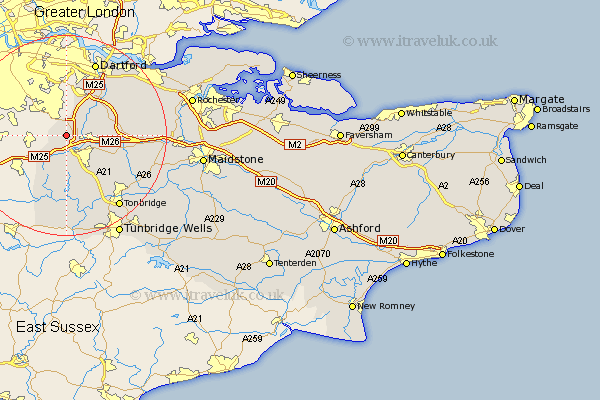
Kent Map Showing Location of Halstead
Population: 1494
District: Sevenoaks
Easting: 548651 Northing: 159726
Latitude: 51.32 Longitude: 0.13
 = Halstead
District: Sevenoaks
Easting: 548651 Northing: 159726
Latitude: 51.32 Longitude: 0.13
= Halstead
This Halstead map below is supplied by Google. Use the tools in the top left corner to zoom into street level or zoom out for a road map, you may also need to zoom in to see Halstead on the map. Click and drag the map to move around. If the map fails to load try and refresh your browser or zoom in or out (+ or -).
Update - it seems Google no longer allow people to use their maps for free! This Halstead map sometimes loads and sometimes gives a error. I am working on a solution.
Closest 30 Towns or Cities to Halstead (Population over 500)
Knockholt 2.97km Shoreham 3.48km Chevening 3.71km Otford 3.94km Brasted 6.02km Westerham 6.56km Eynsford 6.87km Seal 6.88km Kemsing 7.19km Sevenoaks 7.24km Hextable 7.64km Swanley 7.76km Farningham 8.03km West Kingsdown 8.32km Ide Hill 9.27km Weald 11.65km Wilmington 12.04km Ash 12.16km Borough Green 12.17km Ridley 12.87km Wrotham 12.88km Darenth 13.11km Plaxtol 13.76km Hartley 13.9km Hildenborough 14.72km Longfield 14.73km Edenbridge 15.54km Southfleet 15.74km Dartford 15.91km Leigh 15.93km