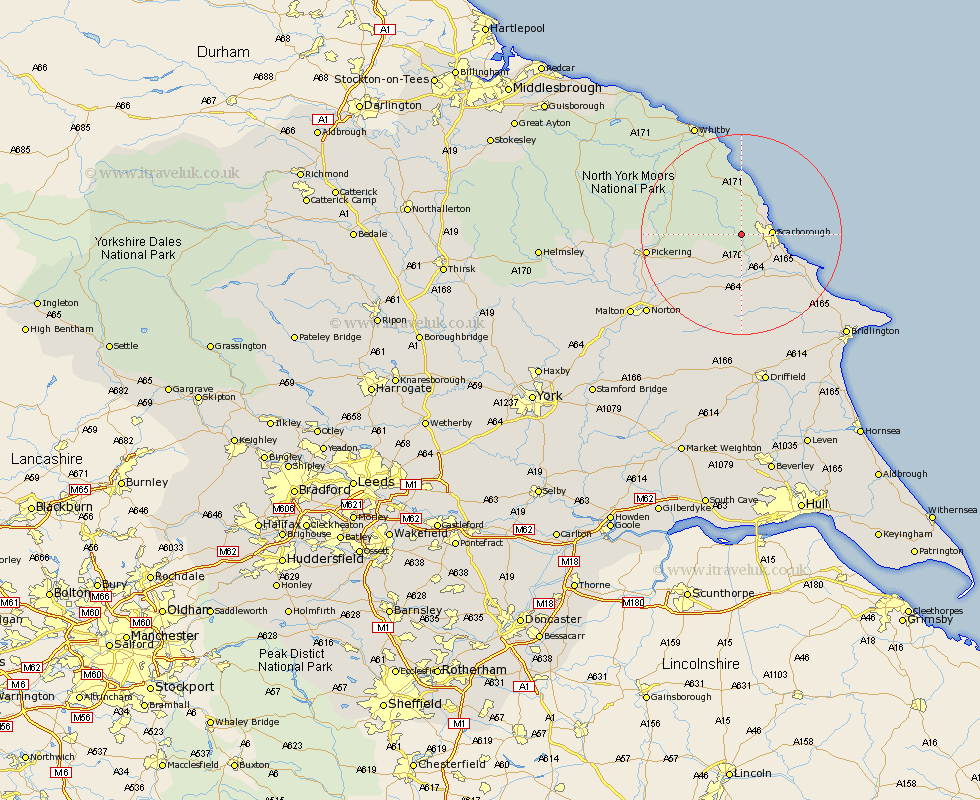
Yorkshire Map Showing Location of Hackness
Population: 125
District: Scarborough
Easting: 497642 Northing: 488573
Latitude: 54.28 Longitude: -0.5
 = Hackness
District: Scarborough
Easting: 497642 Northing: 488573
Latitude: 54.28 Longitude: -0.5
= Hackness
This Hackness map below is supplied by Google. Use the tools in the top left corner to zoom into street level or zoom out for a road map, you may also need to zoom in to see Hackness on the map. Click and drag the map to move around. If the map fails to load try and refresh your browser or zoom in or out (+ or -).
Update - it seems Google no longer allow people to use their maps for free! This Hackness map sometimes loads and sometimes gives a error. I am working on a solution.
Closest 30 Towns or Cities to Hackness (Population over 500)
Scalby 4.33km Scarborough 5.59km Burniston 5.7km Cloughton 7.04km Seamer 7.05km Brompton 8.09km Eastfield 8.55km Snainton 9.17km Cayton 10.29km Willerby 11.58km Yedingham 11.97km Sherburn 13.01km Fylingdales 14.99km Thornton Dale 15.13km Thornton-le-Dale 15.13km Filey 15.94km Hunmanby 17.61km Pickering 17.71km Hawsker 19.03km Rillington 19.72km Great Driffield 20.84km Sleights 21.45km Norton 23.8km Whitby 24.15km Malton 26.17km Bempton 27.35km Kilham 27.35km Kirkby Moorside 28.2km Kirby Moorside 28.2km Bridlington 28.27km