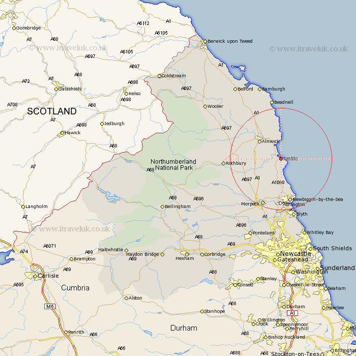
Northumberland Map Showing Location of Amble
Population: 5570
Area Size (ha): 144
District: Alnwick
Easting: 426429 Northing: 604443
Latitude: 55.33 Longitude: -1.58
 = Amble
Area Size (ha): 144
District: Alnwick
Easting: 426429 Northing: 604443
Latitude: 55.33 Longitude: -1.58
= Amble
This Amble map below is supplied by Google. Use the tools in the top left corner to zoom into street level or zoom out for a road map, you may also need to zoom in to see Amble on the map. Click and drag the map to move around. If the map fails to load try and refresh your browser or zoom in or out (+ or -).
Update - it seems Google no longer allow people to use their maps for free! This Amble map sometimes loads and sometimes gives a error. I am working on a solution.
Closest 30 Towns or Cities to Amble (Population over 500)
Amble 0km Warkworth 2.81km East Chevington 5.56km Lisburg 5.95km Lesbury 5.95km Shilbottle 7.33km Alnmouth 7.49km Thirston 8.42km East Thirston 8.42km Felton 9.24km Swarland 10.19km Alnwick 10.46km Almwick 10.46km Ellington 13.01km Lynemouth 13.61km Longframlington 13.82km Longhorsley 16.08km Embleton 16.81km Newbiggin-by-the-Sea 17.65km Newbiggin by the Sea 17.65km Hebron 17.84km Pegswood 18.79km Ashington 18.84km Morpeth 19.58km Rothbury 20.12km Hepscott 20.82km Bedlington 22.33km Blyth 24.05km Blythe 24.05km Beadnell 24.3km