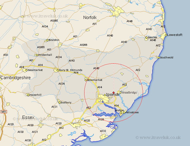
Suffolk Map Showing Location of Grundisburgh
Population: 1472
District: Suffolk Coastal
Easting: 622566 Northing: 249658
Latitude: 52.1 Longitude: 1.25
 = Grundisburgh
District: Suffolk Coastal
Easting: 622566 Northing: 249658
Latitude: 52.1 Longitude: 1.25
= Grundisburgh
This Grundisburgh map below is supplied by Google. Use the tools in the top left corner to zoom into street level or zoom out for a road map, you may also need to zoom in to see Grundisburgh on the map. Click and drag the map to move around. If the map fails to load try and refresh your browser or zoom in or out (+ or -).
Update - it seems Google no longer allow people to use their maps for free! This Grundisburgh map sometimes loads and sometimes gives a error. I am working on a solution.
Closest 30 Towns or Cities to Grundisburgh (Population over 500)
Martlesham 3.89km Martlesham Heath 4.35km Melton 4.55km Woodbridge 4.55km Witnesham 4.55km Wirnesham 4.55km Otley 5.68km Ipswich 5.99km Ufford 7.08km Henley 7.08km Bucklesham 7.42km Sutton 7.77km Claydon 9.3km Nacton 9.33km Wickham Market 9.71km Coddenham 9.83km Great Blakenham 10.25km Bramford 10.9km Rendlesham 11.53km Sproughton 11.66km Sprughton 11.66km Kirkton 12.02km Kirton 12.02km Chelmondiston 13.17km Somersham 13.66km Hollesley 13.71km Debenham 13.75km Tunstall 14.15km Framlingham 14.17km Holbrook 14.17km