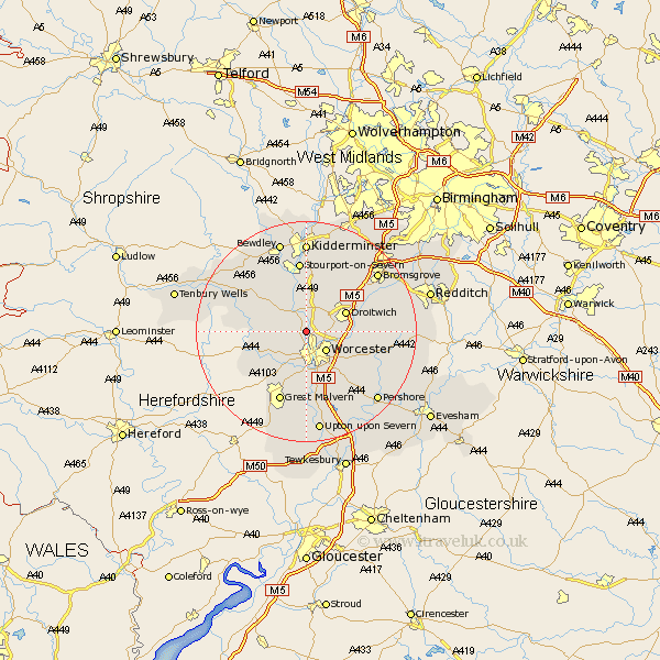
Worcestershire Map Showing Location of Grimley
Population: 627
District: Malvern Hills
Easting: 382928 Northing: 259529
Latitude: 52.23 Longitude: -2.25
 = Grimley
District: Malvern Hills
Easting: 382928 Northing: 259529
Latitude: 52.23 Longitude: -2.25
= Grimley
This Grimley map below is supplied by Google. Use the tools in the top left corner to zoom into street level or zoom out for a road map, you may also need to zoom in to see Grimley on the map. Click and drag the map to move around. If the map fails to load try and refresh your browser or zoom in or out (+ or -).
Update - it seems Google no longer allow people to use their maps for free! This Grimley map sometimes loads and sometimes gives a error. I am working on a solution.
Closest 30 Towns or Cities to Grimley (Population over 500)
Hallow 1.85km Holt 1.86km Fernhill Heath 3.4km Ombersley 3.88km Worcester 5.03km Leigh 7.18km Powick 7.41km Droitwich 7.75km Martley 7.95km Astley 8.69km Great Witley 8.79km Crowle 9.81km Abberley 10.87km Hartlebury 11.18km Clifton 11.5km Clifton upon Teme 11.5km Kempsey 11.63km Stourport-on-Severn 13.03km Stourport 13.03km Stourport on Severn 13.03km Suckley 13.56km Malvern 13.74km Great Malvern 13.74km Peopleton 13.8km Hanbury 14.11km Chaddesley Corbett 14.16km Stoke Prior 14.51km Wadborough 14.65km Severn Stoke 14.99km Seven Stoke 14.99km