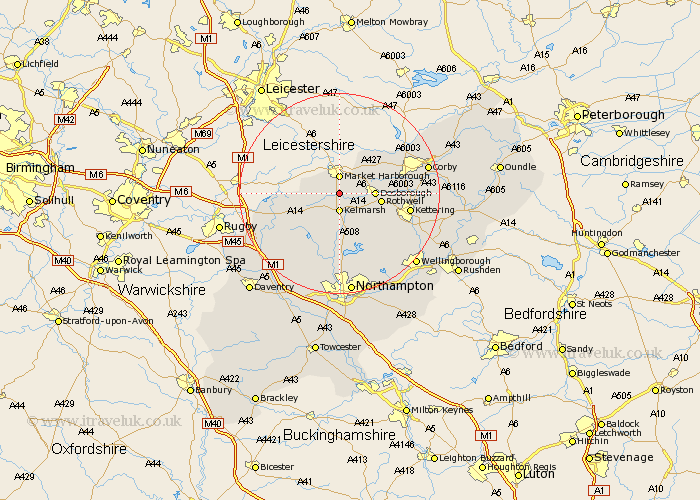
Northamptonshire Map Showing Location of Great Oxendon
Population: 307
District: Daventry
Easting: 473643 Northing: 282296
Latitude: 52.43 Longitude: -0.92
 = Great Oxendon
District: Daventry
Easting: 473643 Northing: 282296
Latitude: 52.43 Longitude: -0.92
= Great Oxendon
This Great Oxendon map below is supplied by Google. Use the tools in the top left corner to zoom into street level or zoom out for a road map, you may also need to zoom in to see Great Oxendon on the map. Click and drag the map to move around. If the map fails to load try and refresh your browser or zoom in or out (+ or -).
Update - it seems Google no longer allow people to use their maps for free! This Great Oxendon map sometimes loads and sometimes gives a error. I am working on a solution.
Closest 30 Towns or Cities to Great Oxendon (Population over 500)
Clipston 2.92km Desborough 6.78km Naseby 7.17km Rothwell 8.12km Rowell 8.12km Welford 9.23km Wilbarston 9.66km Guilsborough 12.48km Broughton 12.59km Cottingham 12.59km Brixworth 13.02km Walgrave 13.02km Spratton 13.16km Kettering 14.06km Pitsford 14.99km West Haddon 15.08km Yelvertoft 15.46km Geddington 15.82km East Haddon 16.3km Caldecott 16.42km Boughton 16.72km Moulton 17.28km Isham 17.38km Corby 17.83km Long Buckby 17.98km Overstone 18.01km Crick 18.44km Stanion 18.45km Sywell 18.98km Burton Latimer 19.33km