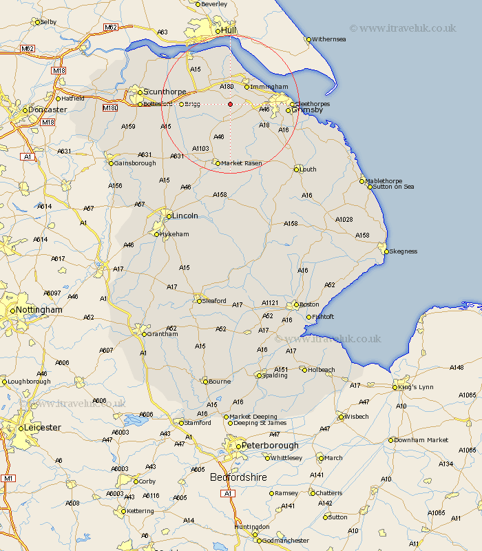
Lincolnshire Map Showing Location of Limber
Population: 261
District: West Lindsey
Easting: 513720 Northing: 407327
Latitude: 53.55 Longitude: -0.28
 = Limber
District: West Lindsey
Easting: 513720 Northing: 407327
Latitude: 53.55 Longitude: -0.28
= Limber
This Limber map below is supplied by Google. Use the tools in the top left corner to zoom into street level or zoom out for a road map, you may also need to zoom in to see Limber on the map. Click and drag the map to move around. If the map fails to load try and refresh your browser or zoom in or out (+ or -).
Update - it seems Google no longer allow people to use their maps for free! This Limber map sometimes loads and sometimes gives a error. I am working on a solution.
Closest 30 Towns or Cities to Limber (Population over 500)
Keelby 2.88km South Killingholme 3.79km Habrough 5.98km Immingham 7.09km Stallingborough 7.57km Nettleton 7.74km Caistor 7.74km Barnetby le Wold 7.93km Barnetby 7.93km Healing 7.93km Laceby 7.93km Ulceby 8.12km North Kelsey 11.52km Wrawby 12.25km Waltham 12.67km East Halton 12.98km Brigg 13.21km Great Coates 13.34km Goxhill 13.39km South Kelsey 13.57km binbrook 14.57km Holton le Clay 14.79km Great Grimsby 15.53km Grimsby 15.53km Barrow upon Humber 16.22km Barrow 16.22km Barrow-on-Humber 16.22km Barrow-upon-Humber 16.22km Barrow on Humber 16.22km Cleethorpes 16.52km