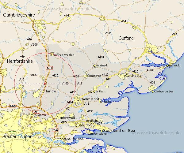
Essex Map Showing Location of Great Hallingbury
Population: 679
District: Uttlesford
Easting: 550420 Northing: 217268
Latitude: 51.83 Longitude: 0.18
 = Great Hallingbury
District: Uttlesford
Easting: 550420 Northing: 217268
Latitude: 51.83 Longitude: 0.18
= Great Hallingbury
This Great Hallingbury map below is supplied by Google. Use the tools in the top left corner to zoom into street level or zoom out for a road map, you may also need to zoom in to see Great Hallingbury on the map. Click and drag the map to move around. If the map fails to load try and refresh your browser or zoom in or out (+ or -).
Update - it seems Google no longer allow people to use their maps for free! This Great Hallingbury map sometimes loads and sometimes gives a error. I am working on a solution.
Closest 30 Towns or Cities to Great Hallingbury (Population over 500)
Sheering 3.88km Hatfield Heath 4.35km Hatfield Broad Oak 4.58km Birchanger 5.56km Harlow 5.68km Matching 6.01km Takeley 6.82km Stansted 7.5km Stansted Mountfitchet 7.5km Stansted Apt 7.5km Manuden 9.34km Elsenham 9.89km Henham 12.02km High Easter 12.04km Broxted 12.25km Fyfield 12.51km Great Easton 12.69km Roydon 12.7km Quendon 13.03km Nazeing 13.71km Dunmow 13.76km Great Dunmow 13.76km Ongar Station 14.87km North Weald 14.87km North Weald Bassett 15km Barnston 15km Felsted 15km Clavering 15.23km Chipping Ongar 15.52km Epping 15.52km