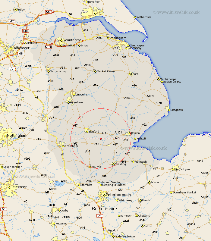
Lincolnshire Map Showing Location of Hale
Population: 626
District: North Kesteven
Easting: 515323 Northing: 340593
Latitude: 52.95 Longitude: -0.28
 = Hale
District: North Kesteven
Easting: 515323 Northing: 340593
Latitude: 52.95 Longitude: -0.28
= Hale
This Hale map below is supplied by Google. Use the tools in the top left corner to zoom into street level or zoom out for a road map, you may also need to zoom in to see Hale on the map. Click and drag the map to move around. If the map fails to load try and refresh your browser or zoom in or out (+ or -).
Update - it seems Google no longer allow people to use their maps for free! This Hale map sometimes loads and sometimes gives a error. I am working on a solution.
Closest 30 Towns or Cities to Hale (Population over 500)
Heckington 1.86km Helpringham 2.17km Donington 7.88km Billingborough 8.14km Bicker 8.65km Swineshead 9.13km Sleaford 9.75km Ruskington 11.43km Buskington 11.43km Heasingham 11.61km Leasingham 11.61km Pointon 11.61km Quadring 12.12km Folkingham 12.12km Brothertoft 12.82km Gosberton 14.27km Sutterton 14.51km Billinghay 14.82km Brauncewell 14.98km Cranwell 15.37km Digby 15.84km Rippingale 15.84km Kirton 16.07km Surfleet 16.42km Ancaster 16.85km Bloxholm 17.3km Bloxholme 17.3km Ropsley 17.31km Tattershall 17.59km Wyberton 17.97km