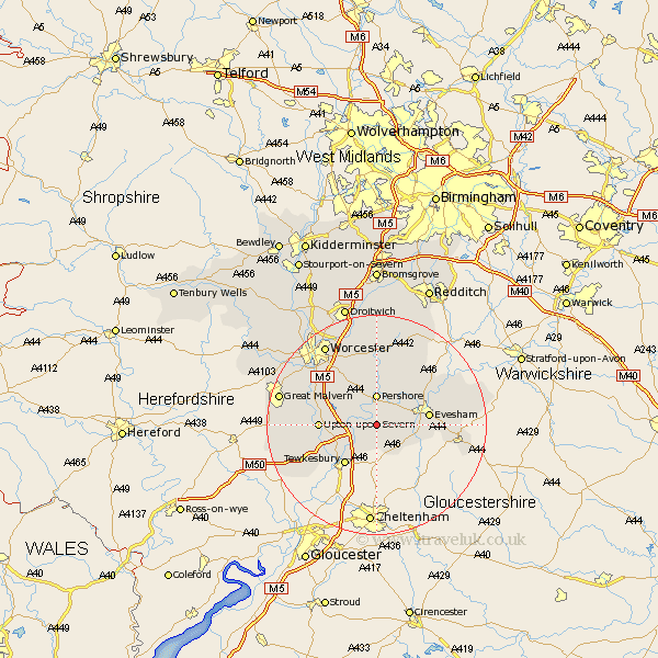
Worcestershire Map Showing Location of Comberton
Population: 299
District: Wychavon
Easting: 395430 Northing: 240973
Latitude: 52.07 Longitude: -2.07
 = Comberton
District: Wychavon
Easting: 395430 Northing: 240973
Latitude: 52.07 Longitude: -2.07
= Comberton
This Comberton map below is supplied by Google. Use the tools in the top left corner to zoom into street level or zoom out for a road map, you may also need to zoom in to see Comberton on the map. Click and drag the map to move around. If the map fails to load try and refresh your browser or zoom in or out (+ or -).
Update - it seems Google no longer allow people to use their maps for free! This Comberton map sometimes loads and sometimes gives a error. I am working on a solution.
Closest 30 Towns or Cities to Comberton (Population over 500)
Eckington 3.42km Defford 3.88km Cropthorne 4.92km Bredon 5.05km Pershore 5.56km Ashton under Hill 5.88km Ashton-under-Hill 5.88km Beckford 6.01km Fladbury 6.53km Charlton 6.79km Sedgeberrow 7.78km Wadborough 7.96km Ripple 8.8km Evesham 9.3km Peopleton 9.54km Upton upon Severn 10.25km Upton on Severn 10.25km Upton 10.25km Upton-on-Severn 10.25km Seven Stoke 10.9km Severn Stoke 10.9km Offenham 10.9km Hanley Castle 11.54km Bishampton 11.63km Kempsey 11.74km Church Lench 12.22km Harvington 12.64km Badsey 12.66km Littleton 13.06km South Littleton 13.06km