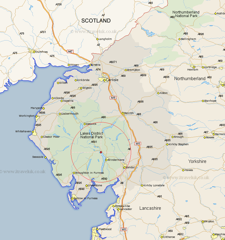
Cumbria Map Showing Location of Ambleside
Population: 3836
Area Size (ha): 98
District: South Lakeland
Easting: 337276 Northing: 502807
Latitude: 54.42 Longitude: -2.97
 = Ambleside
Area Size (ha): 98
District: South Lakeland
Easting: 337276 Northing: 502807
Latitude: 54.42 Longitude: -2.97
= Ambleside
This Ambleside map below is supplied by Google. Use the tools in the top left corner to zoom into street level or zoom out for a road map, you may also need to zoom in to see Ambleside on the map. Click and drag the map to move around. If the map fails to load try and refresh your browser or zoom in or out (+ or -).
Update - it seems Google no longer allow people to use their maps for free! This Ambleside map sometimes loads and sometimes gives a error. I am working on a solution.
Closest 30 Towns or Cities to Ambleside (Population over 500)
Hawkshead 5.96km Windermere 6.43km Conistan 8.53km Coniston 8.53km Staveley 11.19km Colton 17.53km Kendal 17.91km Kendall 17.91km Haverthwaite 20.65km Natland 21.18km Levens 22.02km Shap 22.35km Keswick 22.57km Koswick 22.57km Dacre 23.85km Heversham 24.17km Tebay 24.8km Ulverstone 25.6km Ulverston 25.6km Milnthorpe 25.75km Lower Holker 25.95km Holker 25.95km Orton 26.46km Greystoke 26.73km Crosby Ravensworth 27.15km Arnside 27.36km Beetham 27.37km Pennington 28.12km Lindal 30.24km Lindal in Furness 30.24km