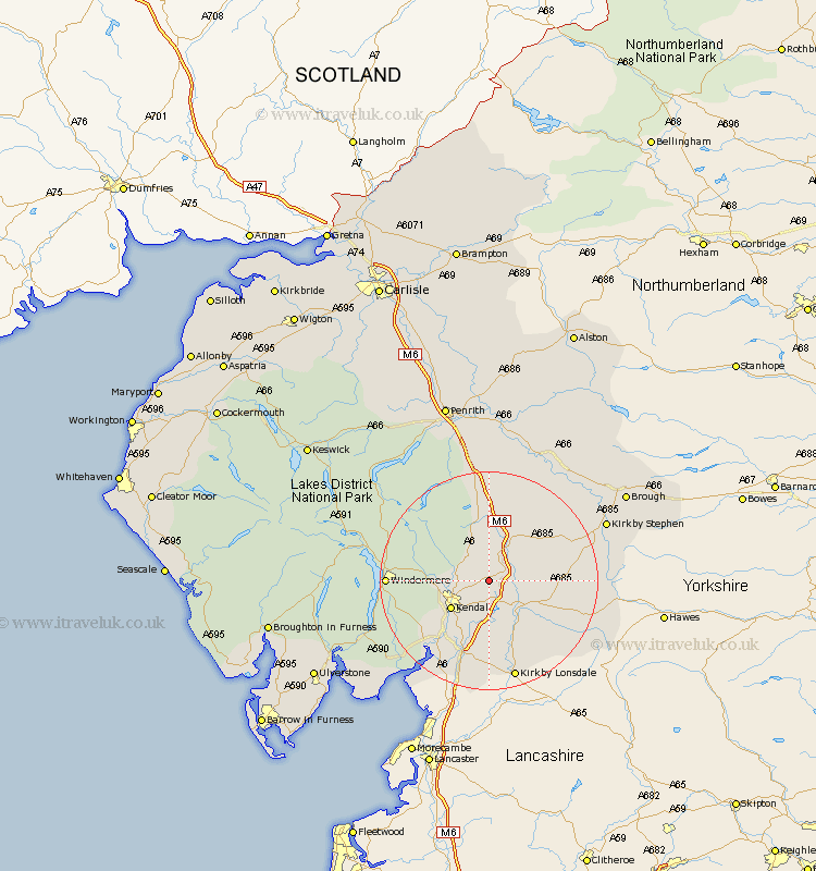
Cumbria Map Showing Location of Grayrigg
Population: 223
District: South Lakeland
Easting: 357772 Northing: 497009
Latitude: 54.37 Longitude: -2.65
 = Grayrigg
District: South Lakeland
Easting: 357772 Northing: 497009
Latitude: 54.37 Longitude: -2.65
= Grayrigg
This Grayrigg map below is supplied by Google. Use the tools in the top left corner to zoom into street level or zoom out for a road map, you may also need to zoom in to see Grayrigg on the map. Click and drag the map to move around. If the map fails to load try and refresh your browser or zoom in or out (+ or -).
Update - it seems Google no longer allow people to use their maps for free! This Grayrigg map sometimes loads and sometimes gives a error. I am working on a solution.
Closest 30 Towns or Cities to Grayrigg (Population over 500)
Tebay 7.04km Kendall 8.54km Kendal 8.54km Sedbergh 10.28km Milnthorpe 10.28km Millthrop 10.28km Natland 10.73km Staveley 10.8km Orton 12.35km Levens 15.59km Ravenstonedale 16.1km Heversham 16.65km Shap 16.71km Dent 17.09km Crosby Ravensworth 17.23km Windermere 17.28km Milnthorpe 18.32km Kirkby Lonsdale 19.03km Kirkby Londsdale 19.03km Beetham 20.02km Holme 20.85km Ambleside 21.24km Kirkby Stephen 22.37km Hawkshead 22.67km Arnside 23.61km Appleby 24.71km Conistan 26.99km Coniston 26.99km Long Marston 27.33km Long Marton 27.33km